COLORADO Mountain Goat Hunting Maps
Click on each ICON to view samples and order
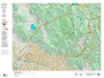
Mountain Goat Land Ownership with Kill Sites
This map has all you need for your hunt. Land Ownership depicting Forest Service, BLM, State and Private Land Status. Over the top, we plot kill sites and kill drainages. Each map contains a QR Code for a free download of the map into Avanza Maps GPS software, a free GPS App for your iPhone or Droid.
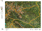
Mountain Goat Unit Satellite Image with Kill Sites and Kill Drainages
A unique view of your hunting unit with a base satellite image, summer and winter concentrations, kill sites and kill drainages. Each map comes with a QR code. With the free Avenza Maps on your iPhone or droid you can scan the QR and load it to your phone. Avenza Maps works in airplane mode, no service required top use this state-of-the-art GPS App on your iPhone!
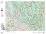
Mountain Goat Unit Topo Map
Some hunters want just the basics. This map is for you. It’s a standard Topographical Map with the Bighorn Sheep Unit Boundaries. Click on the title above to view a sample. What makes our Topo’s unique is we build them from the ground up and add the roads and trails layers from the USGS 7.5 Minute Quads. That gives our maps the most detailed roads and trails available.
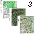
Save $30 with the 3 Map Combo
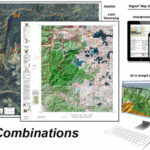
Get unique perspectives from each of the Land Ownership, Satellite, and Topo Maps. The combo includes all 3! Each of the maps also contains a QR code. With Avenza Maps free GPS App loaded on your iPhone or Droid you can the QR code and hit the back country with matching printed and digital maps! The Avenza Maps App works in Airplane Mode without any type of service. Airplane mode allows the App to economize your battery.
Explore in 3D on your Computer
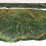
We’ve adapted digital images of our maps to work in 3D in Google Earth. The maps allow you to explore your unit from your desktop. Plan your scouting trips, explore past kill sites and drainages. Determine access all before your boots on the ground exploration. View the digital maps, make notes on your printed maps. Dream, explore, learn. Google Earth is a free App download from earch.google.com. After purchase, we will send a download link. Click here to view a sample image of the 3D map.
Get the entire package! 3 Printed Maps, 3 Digital 3D Maps, and 3 Smartphone Maps!
Study the terrain, kill sites and drainages in 3D from your desktop. Transfer notes to your printed maps. Scan the maps into your Smartphone, drop exploration waypoints and trail pins on your Smartphone then scout with knowledge!
We’ll ship the printed maps and send a link to download the 3D Google Images. Load Avenza maps (free) on your Smartphone then scan the QR code from the printed maps.
