
CO Mountain Goat Land Ownership Unit Map with Kill Sites and Concentrations
Price range: $39.95 through $59.95
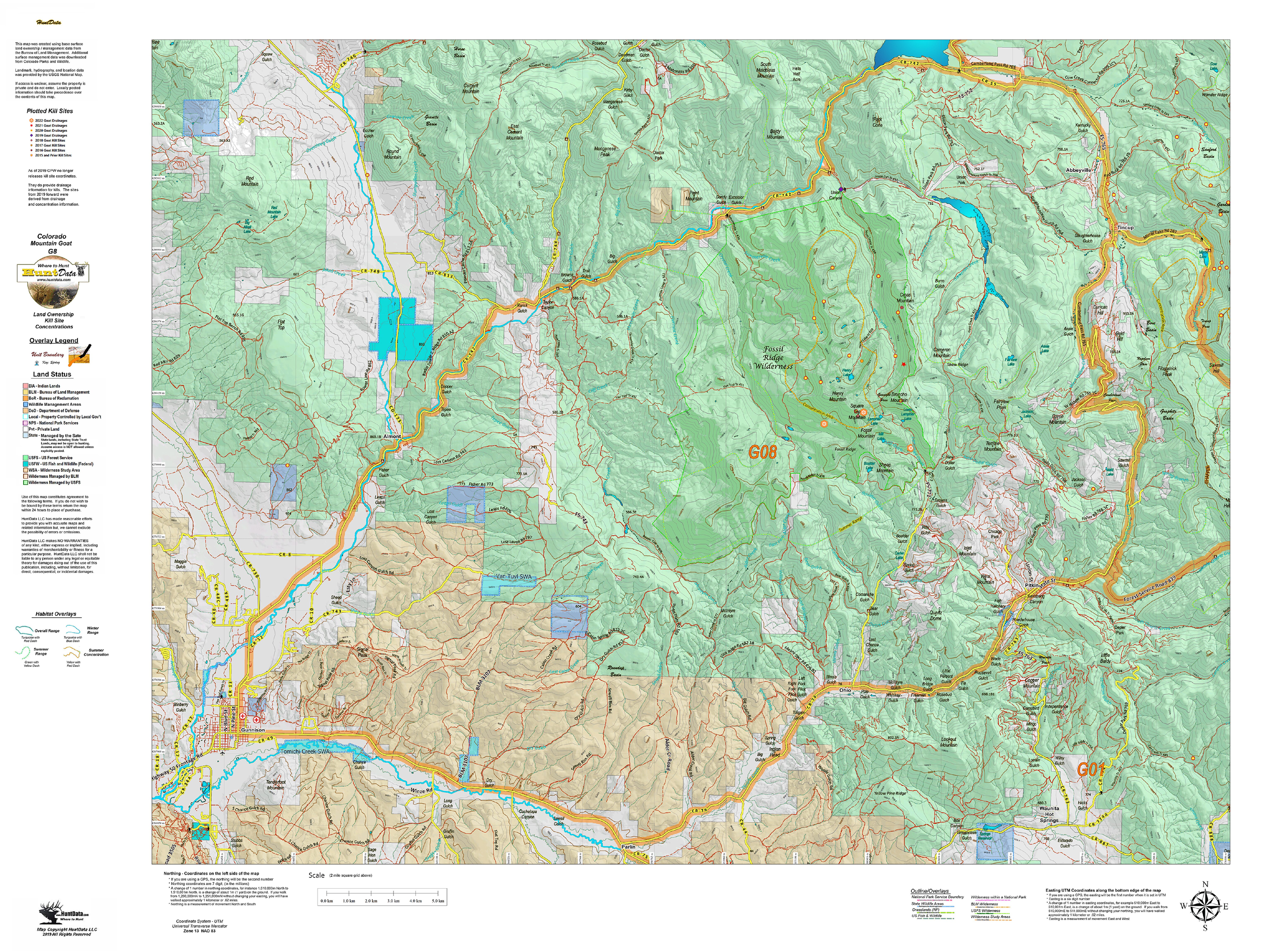
A vibrant Mountain Goat unit map with land ownership, kill drainages, kill sites color coded by year, summer and winter concentrations, and migration corridors. Our base land ownership maps vary from 1:60,000 to 1:120,000 depending on the unit size. All of the maps display the roads and trails layer extracted from the USGS 7.5 minute map series. The maps are printed on our rugged tear proof and water resistant fabric that will last as long as your hunting memories!
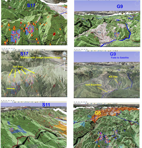
The Mountain Goat Land Ownership Maps display kill sites and drainages, color coded by year with summer and winter concentrations.
Our Land Ownerships use this year’s land ownership data from BLM and State sources. Over the land ownership data, we add contour lines and property boundaries from Colorado Parks of Wildlife, National Parks, National Forest, State, US Fish and Wildlife, other Federal lands.
We add unit boundaries and project the maps at 1:80,000, 1:100,000 or 1:120,000 scale depending on the unit size. The road and trails layers are extracts from the USGS Quad 7.5 minute series. What this means is no matter what the scale of your unit map you have the most details roads and trails available.
Each map contains a quick scan QR code to load the map into your Smartphone using Avenza Maps free GIS App (download from your App Store).
Find where you can and SHOULD hunt on one map! The most current data available on the best hunting map made.
| Weight | N/A |
|---|---|
| Choose a Unit | Unit G1, Unit G2, Unit G3, Unit G4, Unit G5, Unit G6, Unit G7, Unit G8, Unit G9, Unit G10, Unit G11, Unit G12, Unit G14, Unit G15, Unit G16, Unit G17, Unit G18 |
| Select Options | Just the printed Land Ownership Map with Kill Sites (+39.95), Add 3D Google Earth and Smartphone Images (+$59.95) |
Only logged in customers who have purchased this product may leave a review.
Related products
CO Mountain Goat Satellite Map with Kill Sites and Concentrations
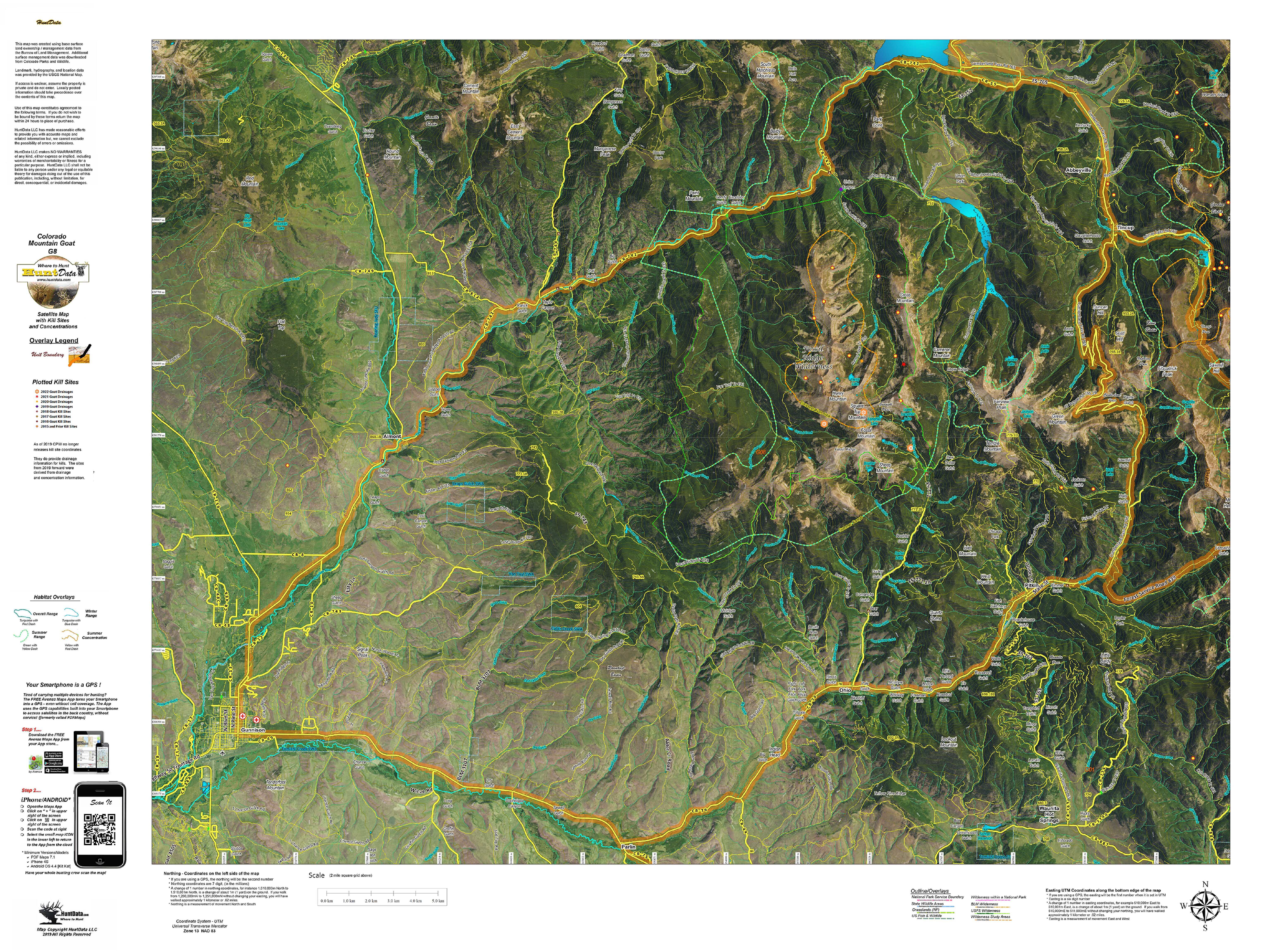
A brand new map with a satellite image base. On top, we project locations, roads, and trails from the USGS. Over that we project kill sites, kill drainages, summer and winter concentrations. This creates a great scouting tool for your once in a lifetime hunt. We print the map on our tear and water resistant fabric to make it really pop. When you add the digital maps you get Google Earth 3D images for the Land Ownership, Satellite, and Topo Maps. These maps all have a QR code you can scan using the Avenza Maps App on your Smartphone. Plan on the kitchen table, then 3D in Google and on your phone in the woods. The perfect hunting package.
CO Mountain Goat Topo Map
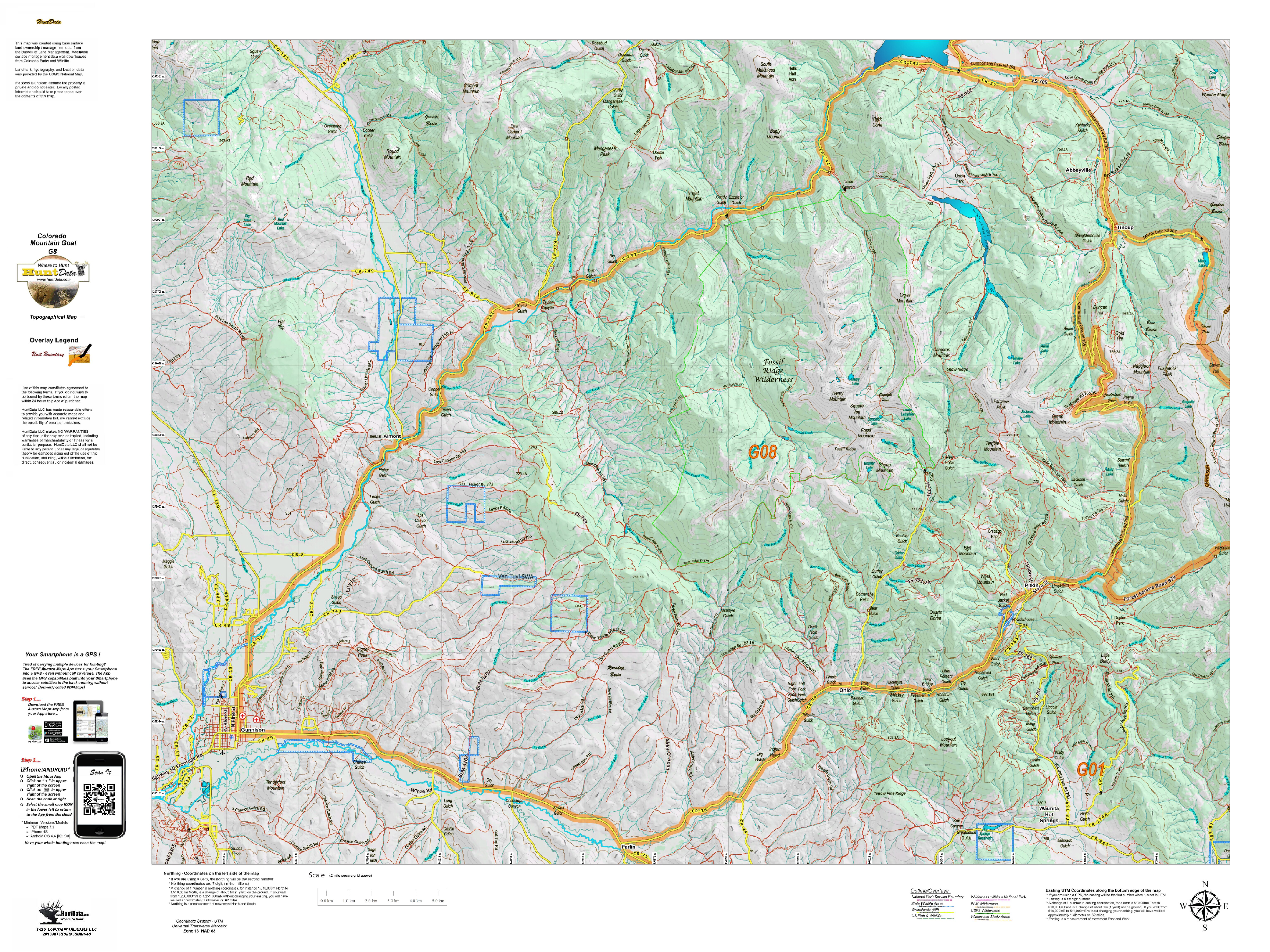
Our Topo Maps display unit boundaries and are built from the ground up at 1:60,000, 1:100,000 and 1:120,000 scales adjusted based on the size of the unit. All maps include the roads and trails from the popular USGS 7.5 minute Quads and are printed on our tear and water resistant fabric. When you add the digital maps you get Google Earth 3D images for the Land Ownership, Satellite, and Topo Maps. These maps all have a QR code you can scan using the Avenza Maps App on your Smartphone. Plan on the kitchen table, then 3D in Google and on your phone in the woods. The perfect hunting package.
Save with Goat Map Combinations
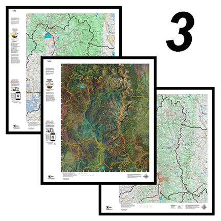
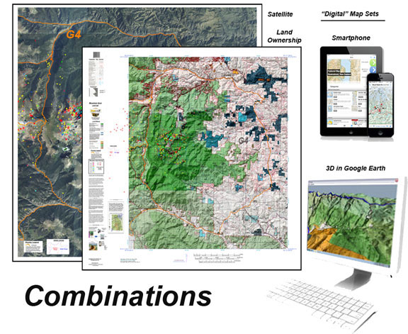
This combo includes one, two, or 3 printed custom maps with roads and trails extracted from the USGS 7.5 minute Quad maps. The land ownership maps are built using current land ownership data from the BLM identifying private, BLM, National Forest, CPW and other public land parcels. The Land Ownership and Satellite maps have plotted kill sites and drainages with summer and winter concentrations. The kill sites are color coded by year. The Topo Map provides a traditional Topo view with unit boundaries and the shaded green vegetation.
The 3D maps can be opened in Google Earth. The Digital maps (3) are exact copies of the printed maps.
Reviews
There are no reviews yet.