COLORADO – HuntAI Season Maps
Colorado Elk Hunting Maps by Season, using HuntAI
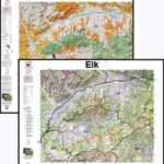
Brand new, First Season Rifle hunting recommendations on a map!
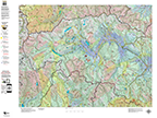
Hunt AI maps combine expertise from seasoned hunters with multiple data sources to create detailed, season-specific maps. These maps highlight legal hunting zones, pinpointing habitats with the highest probability of success during the first rifle season. Order the maps on a base topo or satellite image.
Second Season Rifle recommendations on a map!
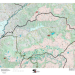
Hunt AI maps integrate expert knowledge from seasoned hunters with advanced data analysis to create precise, season-specific hunting maps. These maps clearly define legal hunting zones, while identifying the most promising elk habitats for success in the second rifle season. By harnessing AI-driven insights, they not only show where hunting is allowed but where your best chances lie. Order the maps on a base topo or satellite image.
3rd, 4th, and Late Season Rifle recommendations on a map!
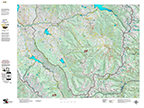
Hunt AI maps integrate expert knowledge from seasoned hunters with advanced data analysis to create precise, season-specific hunting maps. These maps clearly define legal hunting zones, while identifying the most promising elk habitats for success in the late, 3rd, and 4th seasons. Order the maps on a base topo or satellite image.
Consider a land ownership map to complement your HuntAI map. Much of the suitable habitat for these late seasons is on private land.
Archery Elk Recommendation Maps!
Hunt AI maps leverage insights from seasoned hunters and various data sources to craft detailed maps for each hunting season in each unit. These maps highlight elk habitats with a higher probability of archery success. Order the maps on a base topo or satellite image.
Recommended Muzzloading Elk Areas
Hunt AI maps leverage insights from seasoned hunters and various data sources to craft detailed maps for each hunting season in each unit. These maps highlight pinpoint elk habitats with a higher probability of muzzleloading success. The muzzleloading map series highlight areas where the probability of success is notably higher than other areas.
Order the maps on a base topo or satellite image.
Colorado Elk Unit Topographical Maps
A traditional Topographical Map with GMU Boundaries, vegetation and contour lines. What is unique about our maps is the inclusion the roads and trails layer from the USGS 7.5 minute quad maps. Get the whole unit plus the details from the Quads!
Order the maps on a base topo or satellite image.
Save $20 Colorado Elk Hunting Combo, Land Ownership and Elk Concentration Maps
A traditional Topographical Map with GMU Boundaries, vegetation and contour lines. What is unique about our maps is the inclusion the roads and trails layer from the USGS 7.5 minute quad maps. Get the whole unit plus the details from the Quads!
Save $30 with the Hat Trick, Land Ownership, Elk Concentration, and Topo Map Combo
A traditional Topographical Map with GMU Boundaries, vegetation and contour lines. What is unique about our maps is the inclusion the roads and trails layer from the USGS 7.5 minute quad maps. Get the whole unit plus the details from the Quads!
Save $40 with the 4 Map Combo, Land Use, Topo, Concentration, and Satellite
Land Ownership, Elk Concentration, and Topo Map. PLUS, the most unique map we’ve ever created, the Satellite Elk Concentration Map. The Land Ownership, Elk Concentration Maps and Satellite Maps are printed on our rugged fabric material, the Topo is more compact and printed on our water and tear-resistant paper. The Guide Pack is ideal for your hunting group!
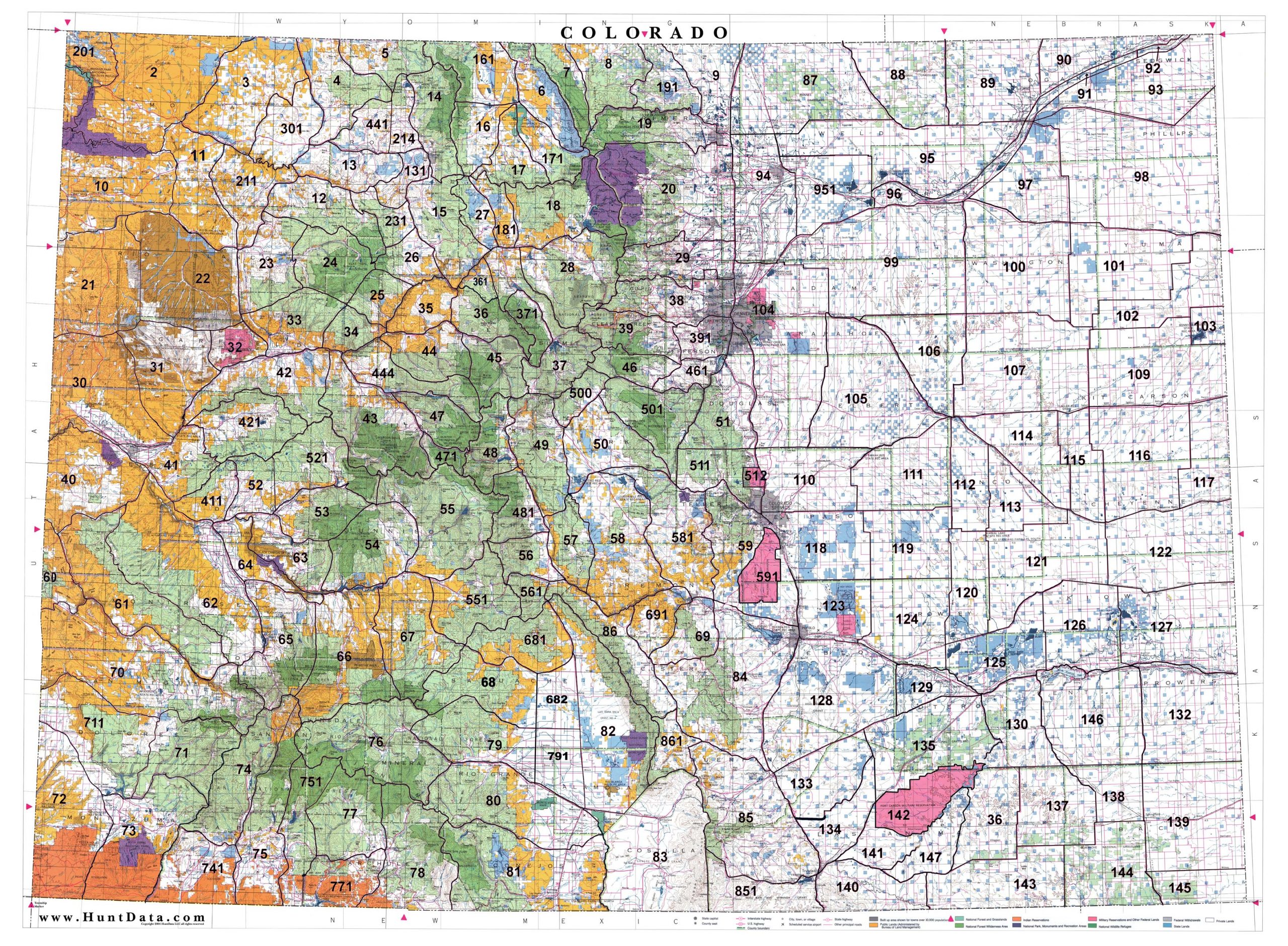
Colorado Statewide Printed Map
Statewide 1:500,000 BLM (Land Status) and 1:500,000 Shaded Relief Maps displaying the whole state with GMU boundary overlays. Great for hunting-based business or just conversation pieces in the den. The maps are 3′ x 4′ and are available on paper or canvas. Statewide GMU Maps including Private Land, BLM Lands,State Lands, National Forest, USGS Shaded Relief and more.
