
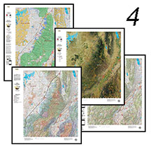

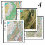
The Guide Pack – 4 Maps, Save $40 Elk Concentration, Land Ownership, Topo, Satellite Elk Concentration
$89.95
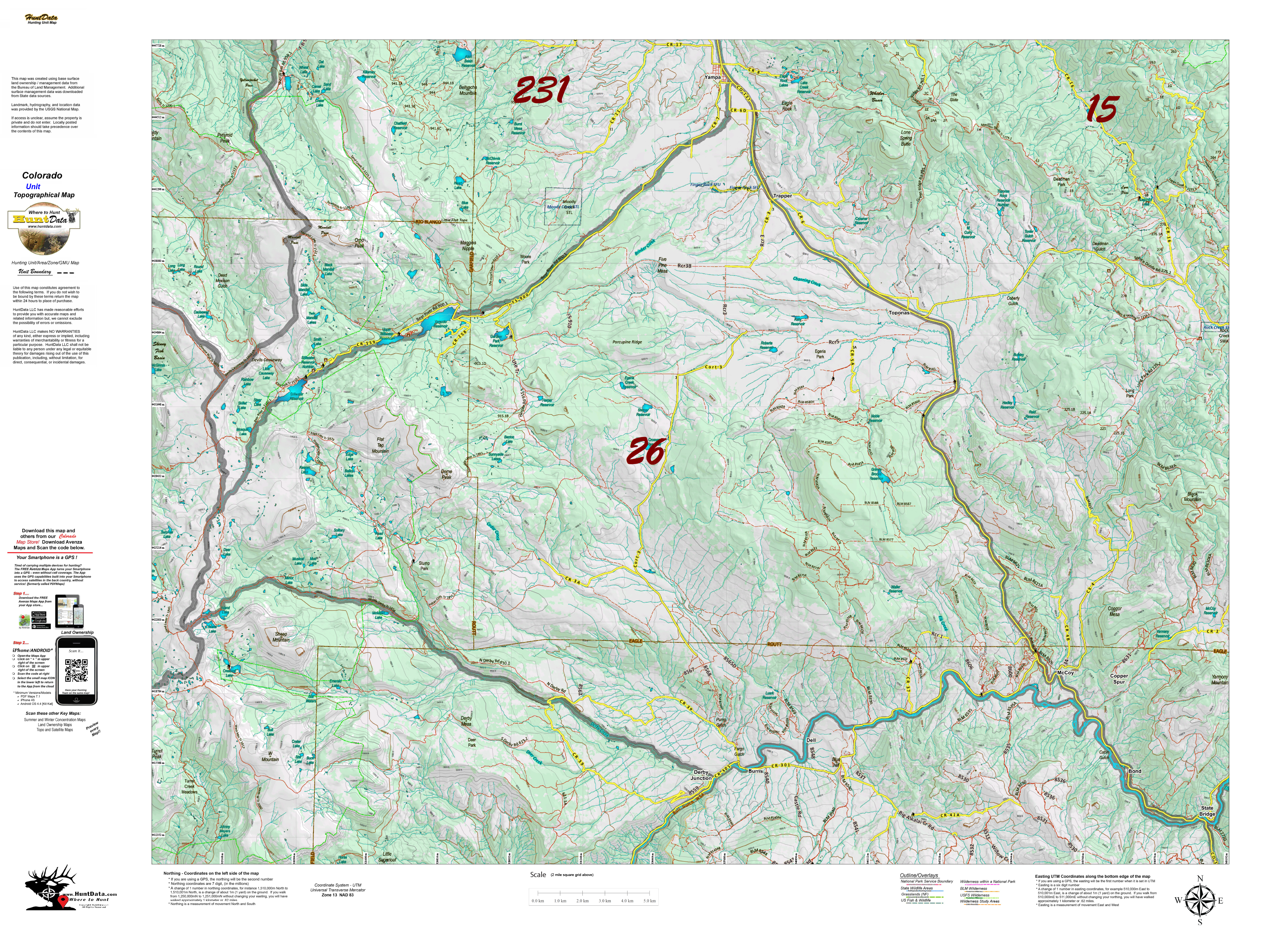
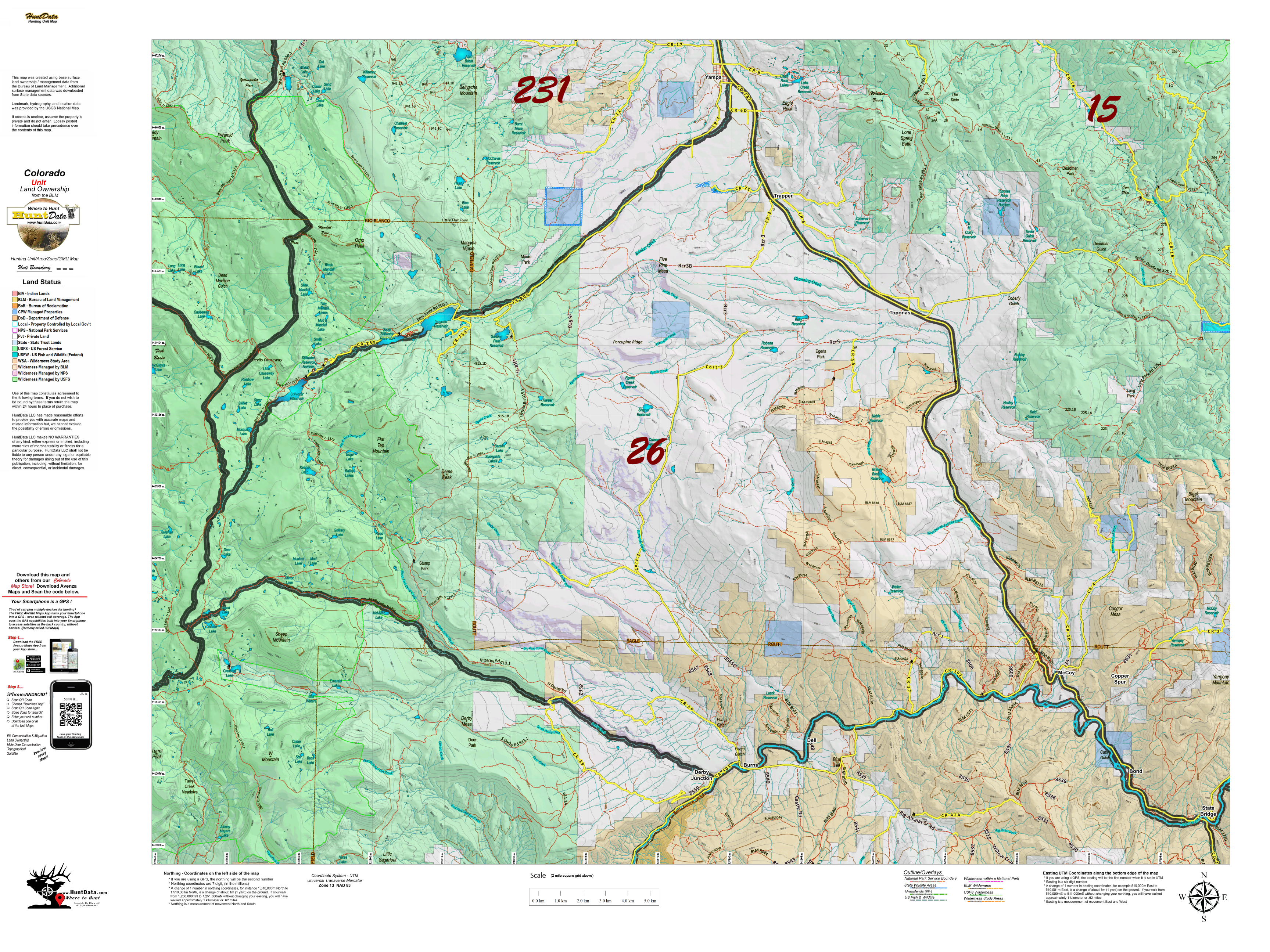
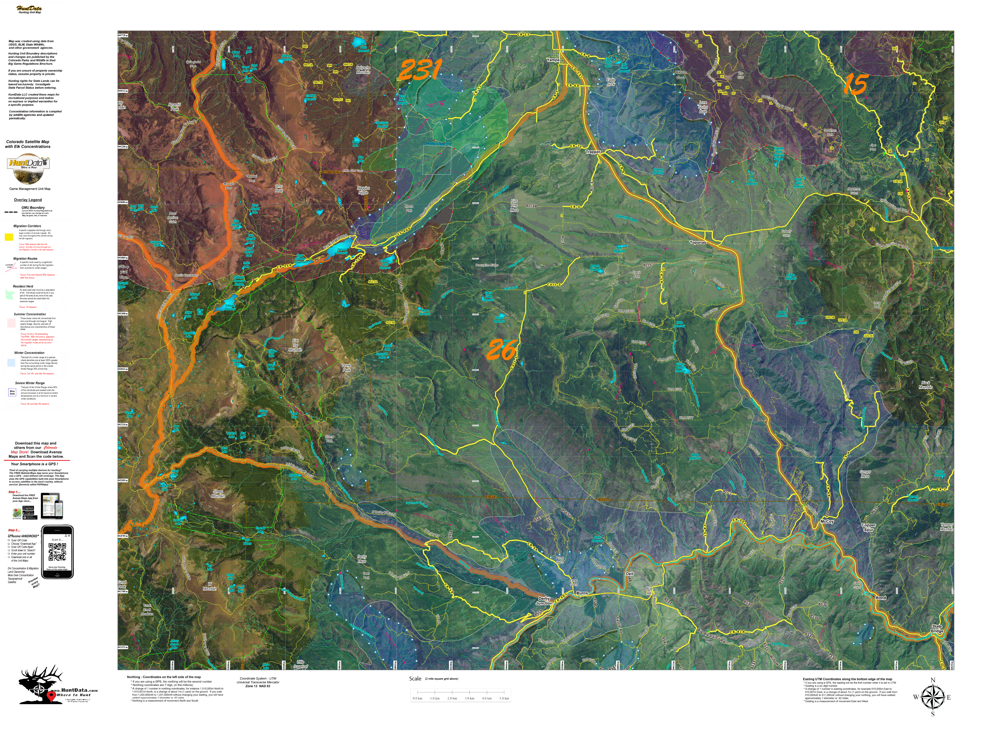
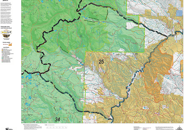
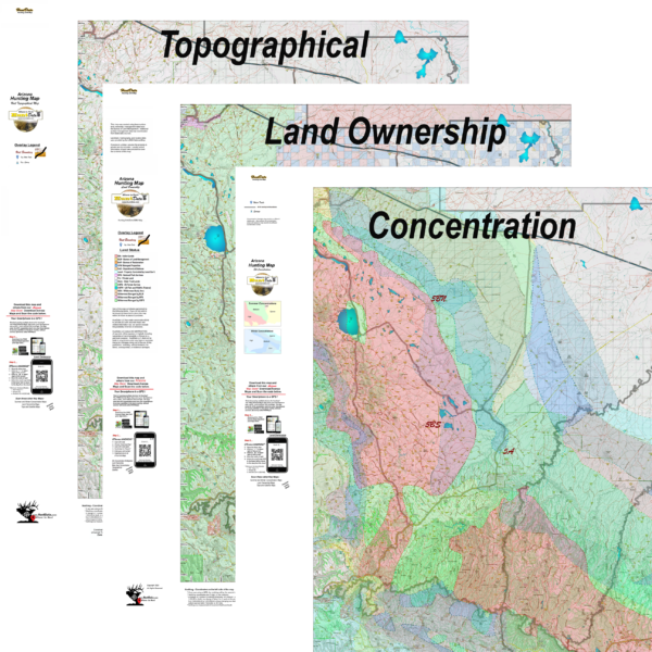
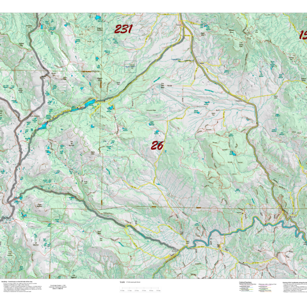
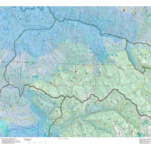
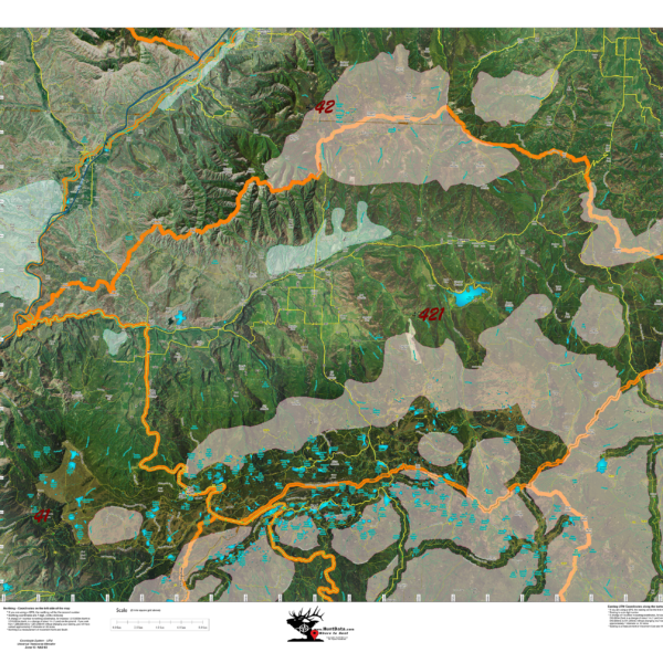
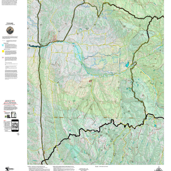
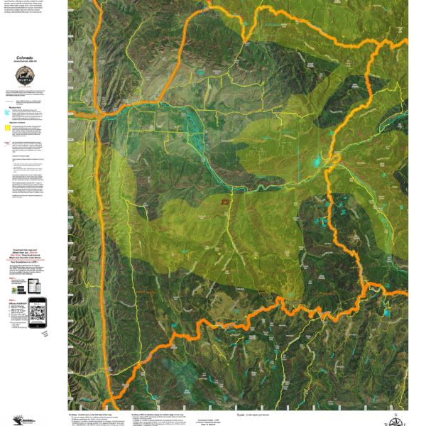
Land Ownership, Elk Concentration, and Topo Map. PLUS, the most unique map we’ve ever created, the Satellite Elk Concentration Map. The Land Ownership, Elk Concentration Maps and Satellite Maps are printed on our rugged fabric material, the Topo is more compact and printed on our water and tear-resistant paper. The Guide Pack is ideal for your hunting group!
Land Ownership, Elk Concentration, and Topo Map. PLUS, the most unique map we’ve ever created, the Satellite Elk Concentration Map. The Land Ownership, Elk Concentration Maps and Satellite Maps are printed on our rugged fabric material, the Topo is more compact and printed on our water and tear-resistant paper. The Guide Pack is ideal for your hunting group!
| Game Management Unit | GMU #1, GMU #2, GMU #3, GMU #4, GMU #5, GMU #6, GMU #7, GMU #8, GMU #9, GMU #10, GMU #11, GMU #12, GMU #13, GMU #14, GMU #15, GMU #16, GMU #17, GMU #18, GMU #19, GMU #20, GMU #21, GMU #22, GMU #23, GMU #24, GMU #25, GMU #26, GMU #27, GMU #28, GMU #29, GMU #30, GMU #31, GMU #32, GMU #33, GMU #34, GMU #35, GMU #36, GMU #37, GMU #38, GMU #39, GMU #40, GMU #41, GMU #42, GMU #43, GMU #44, GMU #45, GMU #46, GMU #47, GMU #48, GMU #49, GMU #50, GMU #51, GMU #52, GMU #53, GMU #54, GMU #55, GMU #56, GMU #57, GMU #58, GMU #59, GMU #60, GMU #61, GMU #62, GMU #63, GMU #64, GMU #65, GMU #66, GMU #67, GMU #68, GMU #69, GMU #70, GMU #71, GMU #72, GMU #73, GMU #74, GMU #75, GMU #76, GMU #77, GMU #78, GMU #79, GMU #80, GMU #81, GMU #82, GMU #83, GMU #84, GMU #85, GMU #86, GMU #118, GMU #123, GMU #131, GMU #161, GMU #171, GMU #181, GMU #191, GMU #201, GMU #211, GMU #214, GMU #231, GMU #301, GMU #371, GMU #391, GMU #411, GMU #421, GMU #441, GMU #444, GMU #461, GMU #471, GMU #481, GMU #500, GMU #501, GMU #511, GMU #512, GMU #521, GMU #551, GMU #561, GMU #581, GMU #591, GMU #681, GMU #691, GMU #711, GMU #741, GMU #751, GMU #771, GMU #851, GMU #861, None |
|---|
Only logged in customers who have purchased this product may leave a review.
Related products
HuntAI – 3rd, 4th, and Late Season Recommendations
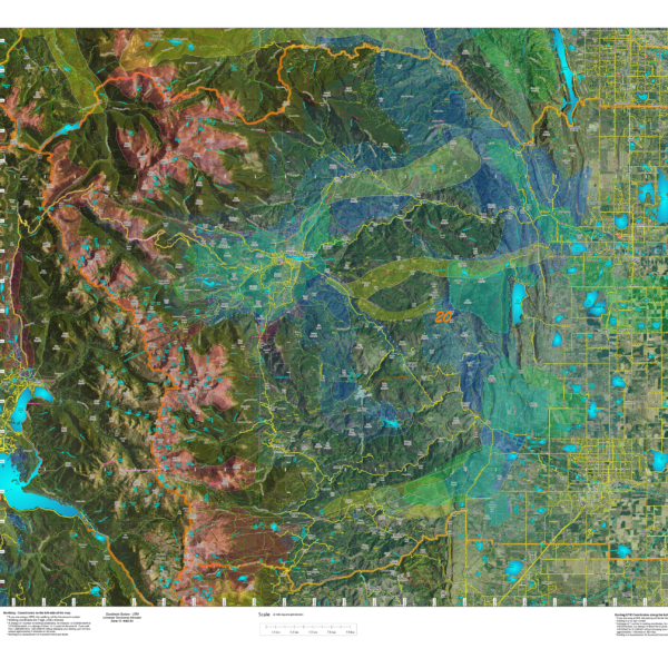
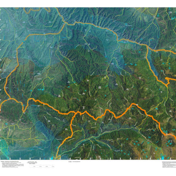
Elk Concentration Maps were invented by HuntData. These maps have been our best sellers over the past 25 years. This year, we updated the styles, enhancing boundaries, clarifying summer, winter, and resident herds, migration routes and adding 7.5-minute roads from the USGS Quad collection. The maps are printed on our rugged map fabric designed to last as long as your hunting memory.
HuntAI – First Rifle Recommendations
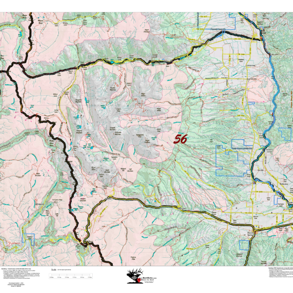
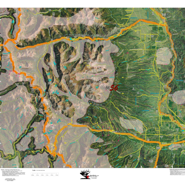
Elk Concentration Maps were invented by HuntData. These maps have been our best sellers over the past 25 years. This year, we updated the styles, enhancing boundaries, clarifying summer, winter, and resident herds, migration routes and adding 7.5-minute roads from the USGS Quad collection. The maps are printed on our rugged map fabric designed to last as long as your hunting memory.
HuntAI – Muzzleloading Recommendations
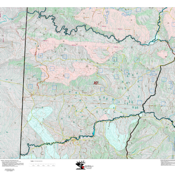
Elk Concentration Maps were invented by HuntData. These maps have been our best sellers over the past 25 years. This year, we updated the styles, enhancing boundaries, clarifying summer, winter, and resident herds, migration routes and adding 7.5-minute roads from the USGS Quad collection. The maps are printed on our rugged map fabric designed to last as long as your hunting memory.
HuntAI – Second Rifle Recommendations
Elk Concentration Maps were invented by HuntData. These maps have been our best sellers over the past 25 years. This year, we updated the styles, enhancing boundaries, clarifying summer, winter, and resident herds, migration routes and adding 7.5-minute roads from the USGS Quad collection. The maps are printed on our rugged map fabric designed to last as long as your hunting memory.
Reviews
There are no reviews yet.