COLORADO Moose Hunting Maps
Click on the Map ICONs or Product Titles to view kill site, satellite, and topo samples.
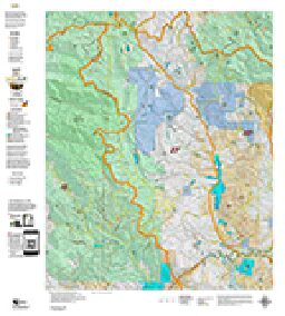
Moose Land Ownership with Kill Sites
This map has everything you need for a successful hunt, including detailed land ownership information covering Forest Service, BLM, State, and Private Land Status.
Overlaid on this base map are plotted kill sites, drainages, and moose concentration areas, providing crucial insights for scouting. Each map also features a QR code for a free download into Avenza Maps GPS software—a powerful, free GPS app available for both iPhone and Android.
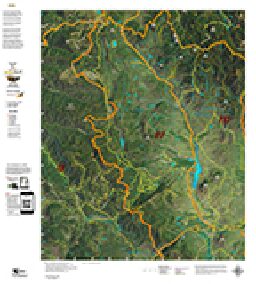
Moose Unit Satellite Image with Kill Sites and Kill Drainages
Our most popular moose map offers a unique perspective of your hunting unit, featuring a detailed satellite base image overlaid with summer and winter moose concentrations, kill sites, and kill drainages.
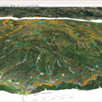
The kill sites stand out vividly, allowing you to pinpoint key scouting locations with ease. Take your preparation to the next level by incorporating 3D imagery, enabling you to scout from the comfort of your desktop.
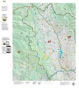
Moose Unit Topo Map
This map is designed for you—a standard topographical map featuring Moose Unit Boundaries.
What sets our topo maps apart is that we build them from the ground up, integrating the most detailed roads and trails layers sourced from the USGS 7.5-Minute Quads. This ensures unparalleled accuracy in navigation. Each map also includes a QR code for a free download into Avenza Maps GPS software, a powerful and free GPS app available for both iPhone and Android.
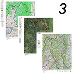
Save $30 with the 3 Map Combo
Gain unique perspectives with the Land Ownership, Satellite, and Topo Maps—available together in one comprehensive combo.
Each map includes a QR code for seamless integration with Avenza Maps, a free GPS app for iPhone and Android. Simply scan the QR code and head into the backcountry with perfectly matched printed and digital maps. Avenza Maps even works in Airplane Mode, allowing you to navigate without service while conserving battery life.
Explore in 3D on your Computer
Experience your hunting unit in 3D with our adapted digital maps for Google Earth.
Explore your unit from your desktop, plan scouting trips, and analyze past kill sites and drainages—all before setting foot in the field. Determine access points, visualize terrain, and make notes on your printed maps for a seamless planning experience. Dream. Explore. Learn. Google Earth is a free app available for download at earth.google.com. After purchase, we’ll send you a download link. Click here to view a sample image of the 3D map.
