Colorado Hunting Maps
Check out new pricing for elk maps, from $19.95!
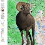
Colorado Big Horn Sheep
We have land ownership with kill sites and kill drainages, a Satellite image with kill sites, concentrations, and kill drainages, and if you just want the basics with a boundary, we have a Topo map as well. For every unit! And, the printed maps include a QR code that allows you to load the map on your smart phone (free) using Avenza Maps (free) gps App on your phone. Where you can hunt: Public Land Status and Boundaries. Where you Should Hunt: Plotted Kill Sites, Summer and Winter Concentrations all on our rugged material! The absolute best planning tool available for sheep hunters!
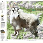
Colorado Mountain Goat Unit Maps
We have land ownership with kill sites and kill drainages, a Satellite image with kill sites, concentrations, and kill drainages, and if you just want the basics with a boundary, we have a Topo map as well. For every unit! And, the printed maps include a QR code that allows you to load the map on your smart phone (free) using Avenza Maps (free) gps App on your phone. Where you can hunt: Public Land Status and Boundaries. Where you Should Hunt: Plotted Kill Sites, Summer and Winter Concentrations all on our rugged material! The absolute best planning tool available for sheep hunters!
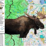
Colorado Moose Unit Maps
Moose GMU Maps display public/private land status, kill sites and kill drainages, winter and summer concentrations. Where you can hunt: Public Land Status and Boundaries. Where you Should Hunt: Plotted Kill Sites, Summer and Winter Concentrations all on our rugged material! The absolute best planning tool available for moose hunters!
Colorado Elk Hunting Maps – New pricing from $19.95 and check out the new 2 sided maps!
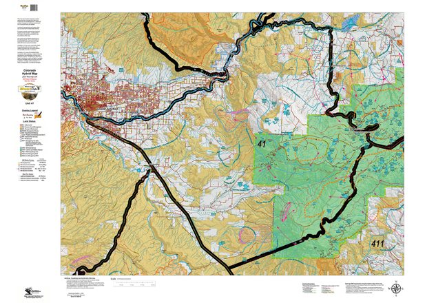
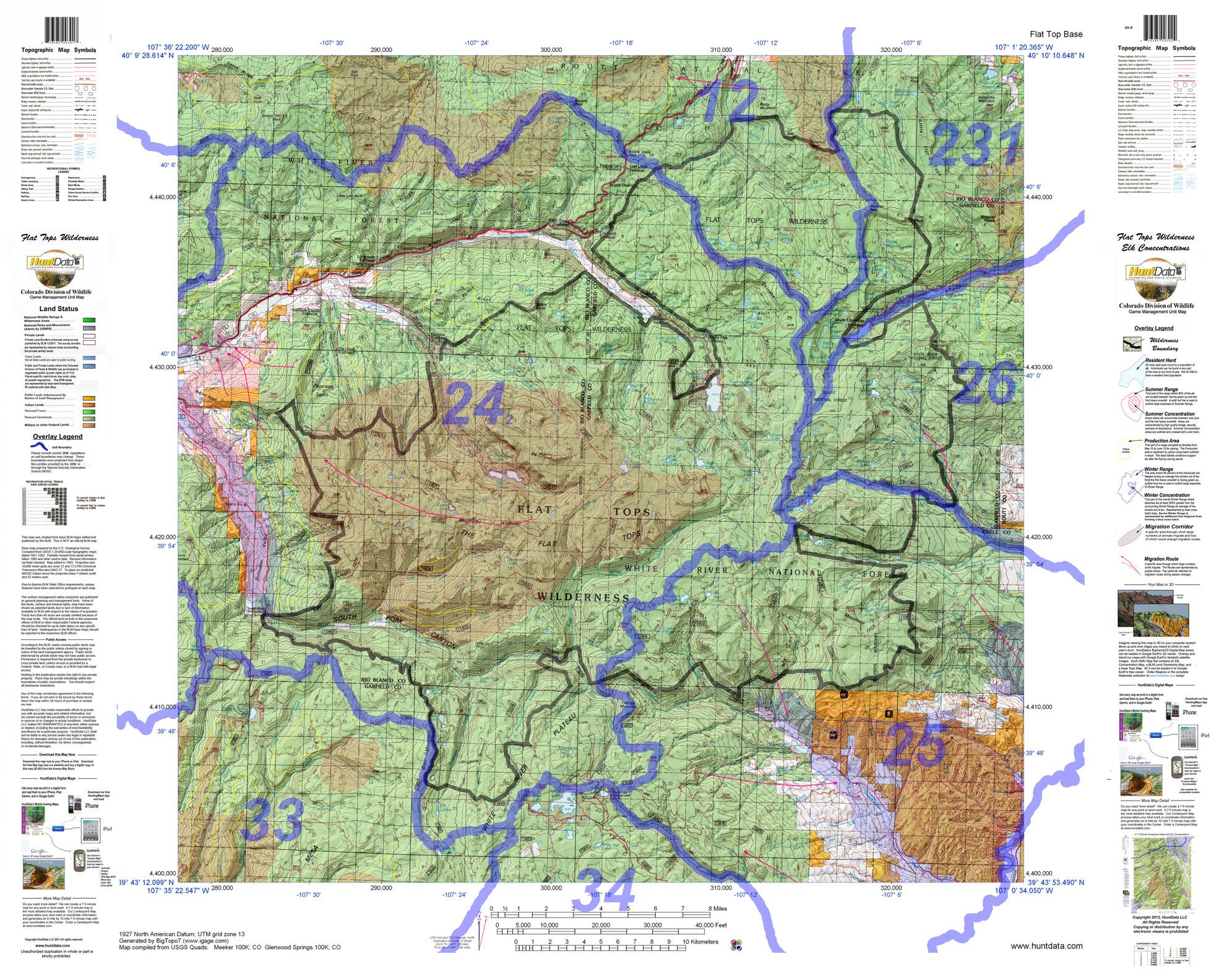
Check out the new two-sided Elk Concentration and Land Ownership Maps. And, view sample Hybrid maps with Land Ownership and Elk Concentrations outlines. Choose between maps displaying Land Ownership (BLM), Elk Concentration (Elk), and basic topographical maps showing unit boundaries. All maps include the entire unit.
Colorado Unit Land Ownership Maps from $14.95
Start planning for next year with a Unit Land Ownership Map depicting private, National Forest, BLM, State, and Federal Land Status. The road and trail systems are generated from the USGS 7.5 minute map series.
Colorado Mule Deer Hunting Maps from $19.95
Custom Colorado Deer Hunting Maps with Game Management Unit boundaries with public and private land access as well as Deer Concentration information.
Looking for a new hunt? Explore every unit and season in 3D!
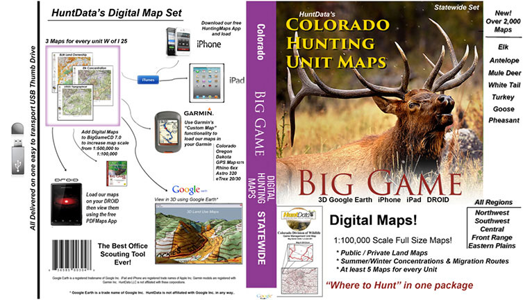
Our Digital Map set contains over 1,500 maps on a 60gb thumb drive. Pull up the maps in Google Earth (free). Switch between species in your unit or view elk in every over-the-counter unit. Answer, where are the concentrations? Are they on public lands? What is the terrain like? When you are ready to hit the trail scan the QR code on each map and load using Avenza Maps for your Smartphone. The over 1,500 maps are included on the drive. This is what you need in the offseason!
Colorado Statewide Printed Maps
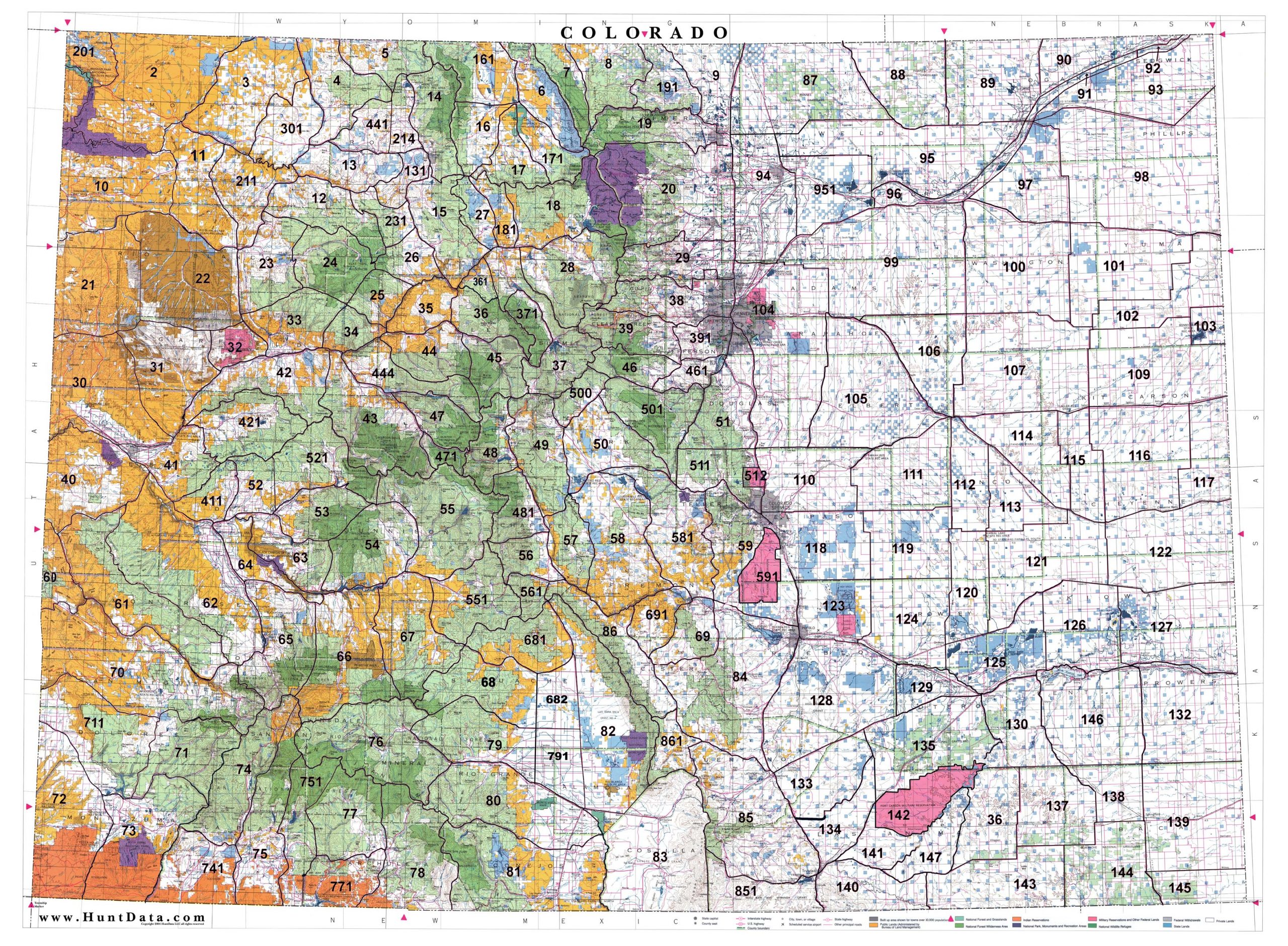
Statewide 1:500,000 BLM (Land Status) and 1:500,000 Shaded Relief Maps displaying the whole state with GMU boundary overlays. Great for hunting-based business or just conversation pieces in the den. The maps are 3′ x 4′ and are available on paper or canvas. Statewide GMU Maps including Private Land, BLM Lands,State Lands, National Forest, USGS Shaded Relief and more.
Colorado Antelope Hunting Maps
A Unit Map depicting summer and winter antelope concentrations.
Custom Colorado Whitetail Deer Hunting Maps – Eastern Plains
BLM Land Ownership Maps for every unit East of Interstate 25 with Whitetail Deer Concentrations highlighted.
Colorado Turkey Habitat Maps
Turkey Concentration Maps for every Unit in Colorado. The maps display Roost Areas, Spring Concentrations, Winter Concentrations, and Overall Ranges. 1:100,000 Topo Map background. We’ll show you Where to Hunt. As you check out, note there is an option for just the Digital Maps.
Colorado Wilderness Hunting Maps
1:100,000 Colorado Wilderness Maps with GMU boundaries for all intersected units and elk concentration areas – summer, winter, resident herds and migration routes.
Custom Colorado Bear Hunting Maps
Summer and Fall Bear Concentration Maps for all Big Game Units (GMU’s).
