

Wyoming Statewide Antelope Unit Map
$39.95
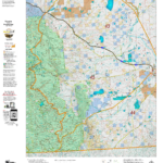
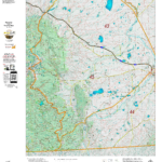
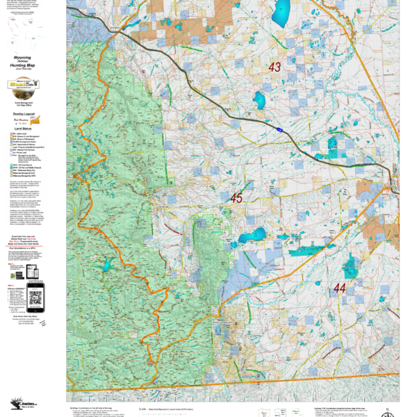
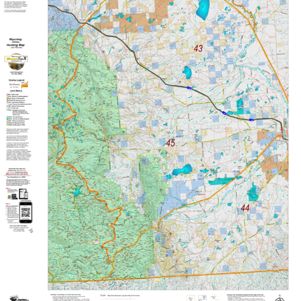
HuntData produces the only map of this type. The 1:500,000 maps display land ownership in rich colors with antelope unit boundary overlays for the whole State.
Description
Statewide maps depicting the unique unit boundaries for Antelope Units. The 1:500,000 map depicts land ownership across the State with private, national forest, BLM and other land ownership designations. These maps are great for the office or den. Use them to determine the characteristics such as the amount of public land in units hosting the hunt you are planning to draw. The maps are 36″ tall by 45″ wide.
Reviews (0)
Only logged in customers who have purchased this product may leave a review.
Shipping & Delivery
Related products
(3) Map Wyoming Hat Trick Save $30.
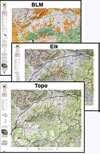
A combination of 3 printed maps, Land Ownership, Habitat, and Topo. All 3 have updated land ownership, roads, and trails from the USGS 7.5 minute quad maps. The Land Ownership and Habitat Maps are printed on our rugged map fabric. The Topo is printed on our tough tear and water-resistant paper. This pack shows you where you CAN and where you SHOULD hunt. Where to Hunt in one package.

Reviews
There are no reviews yet.