


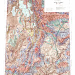
UT Antelope Topo Unit Map.
$24.95
We redesigned our Topo series this year adding updated roads from the USGS 7.5 minute map series to the 1:100, 000 Topo base. Click on the small map at left to see a larger sample. Scroll to the bottom of the map to order then move to the bottom right to Add To Cart. We also enhanced the Forest Service boundries. The result is a traditional topo map with current info! A great tool for your hunt.
Additional information
| Utah Antelope Units | Beaver, Book Cliffs, Bitter Creek, Book Cliffs, South, Box Elder, Promotory, Box Elder, Pubble Valley, Box Elder, Snowville, Box Elder, West, Cache Morgan, S Rich, Ogden, Fillmore, Oak Creek S, Kaiprarowits, La Sal, Potash, S Cisco, Mt Dutton, Paunsaugunt, Nine Mile, Antro-Myton Bench, Nine Mile, Range Creek, North Slope, Summit, North Slope, Three Corners, West Dagget, Panguitch Lake, Zion, N, Pine Valley, Plateau, Parker Mtn, San Juan, Hatch Point, San Rafael, Desert, San rafael, North, S Slope Bonanza Diamond Mtn, S Slope Vernal, SW Desert, W Desert, Riverbed, W Desert, Rush Valley, W Desert, Snake Valley |
|---|
Reviews (0)
Only logged in customers who have purchased this product may leave a review.
Shipping & Delivery
Related products
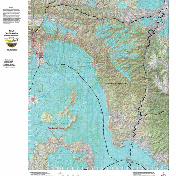
UT Antelope Concentration Map.
We project Summer, Winter, and Fall Concentration data over a Topo base to create an informative and colorful concentration map. Click on the small map at left to see a larger sample. Scroll to the bottom of the map to order then move to the bottom right to Add To Cart. The maps are designed to help you determine where you SHOULD be hunting in your unit during your season. These maps are built on the USGS 1:100,000 base Topo series with enhanced Lakes, Roads and Trails from the USGS 7.5 minute Quad Maps. This map should be part of your hunting tool kit!
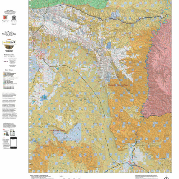
UT Antelope Land Ownership Maps.
We project Summer, Winter, and Fall Concentration data over a Topo base to create an informative and colorful concentration map. Click on the small map at left to see a larger sample. Scroll to the bottom of the map to order then move to the bottom right to Add To Cart. The maps are designed to help you determine where you SHOULD be hunting in your unit during your season. These maps are built on the USGS 1:100,000 base Topo series with enhanced Lakes, Roads and Trails from the USGS 7.5 minute Quad Maps. This map should be part of your hunting tool kit!
Reviews
There are no reviews yet.