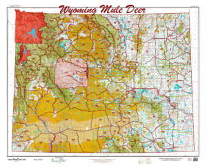
Statewide Printed Unit Map – Mule Deer
This is the unit map you’ve seen hanging in stores and office. We have 3 maps, one for Mule Deer, Antelope, and Elk Units. The maps are 1:500,000 posters depicting the unique unit boundaries projected over public and private land. The maps give you an idea of the layout and ownership composition for units you are considering. A great wall hanger for the office or den.
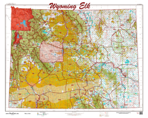
Statewide Printed Unit Map – Elk
This is the unit map you’ve seen hanging in stores and office. We have 3 maps, one for Mule Deer, Antelope, and Elk Units. The maps are 1:500,000 posters depicting the unique unit boundaries projected over public and private land. The maps give you an idea of the layout and ownership composition for units you are considering. A great wall hanger for the office or den.
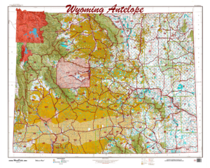
Statewide Printed Unit Map – Antelope
This is the unit map you’ve seen hanging in stores and office. Study the notorious checkerboard public and private lands in Wyoming’s antelope units. Dream, study, plan and apply using this great office hanger! The map is approximately 3′ by 4′.
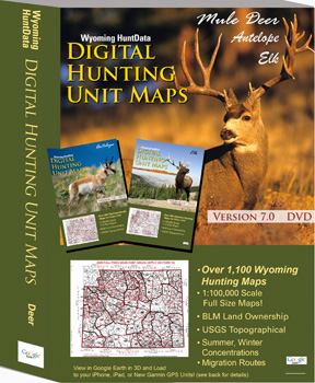
Wyoming Statewide Digital
Our Statewide Digital Map set for Wyoming contains a set of maps for each of the unique Mule Deer, Elk, and Antelope units. Each set contains at least 3 maps for each unit – a Concentration Map (Summer, Winter concentrations and migration routes), a Land Status Map (Private, Public, State, National Forest etc.) and base Topo maps
