


Colorado Land Ownership Unit Maps $19.95 – $29.95
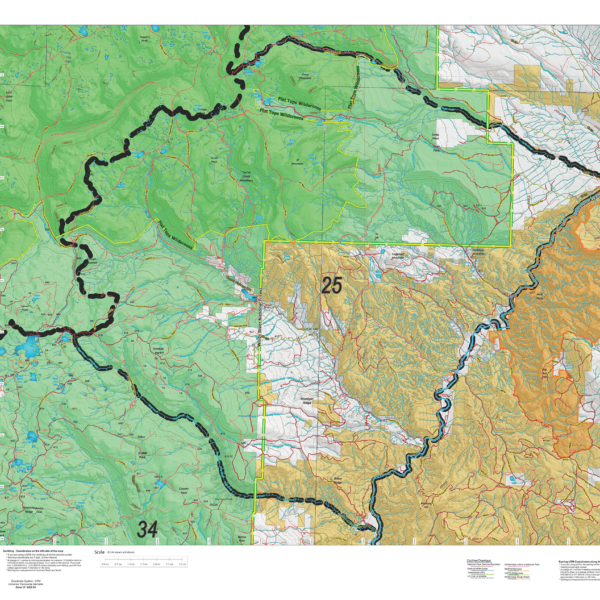
Our Land Ownership Maps are built with updated land ownership data from the BLM, State of Colorado and other Federal Agencies such as the National Forest. The maps display Public, Private, National Forest, BLM, State, CPW, and Federal Lands. We transferred the roads and trails from the USGS 7.5-minute maps. A great map to help keep you on public ground. The maps are printed on tear-proof, water resistant paper or choose our rugged, long-lasting fabric.
Select options
This product has multiple variants. The options may be chosen on the product page
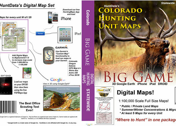
Colorado Statewide BigGame Digital Map Set
A collection of 3D maps for every unit in Colorado. The Statewide Digital Map set has a 3D version of our printed maps. Land Ownership for every unit, concentration maps for Elk, Deer, Turkey, Antelope, and Bear. Download over 1500 maps, All in 3D! After your order, we'll send a link to the maps, download or all of the maps.
By storing the maps in the cloud and giving you a link, we can keep the set current. For example, this Spring we'll be adding an additional set of maps designed for the specific seasons. After we've added these new maps, you can download using the same link.
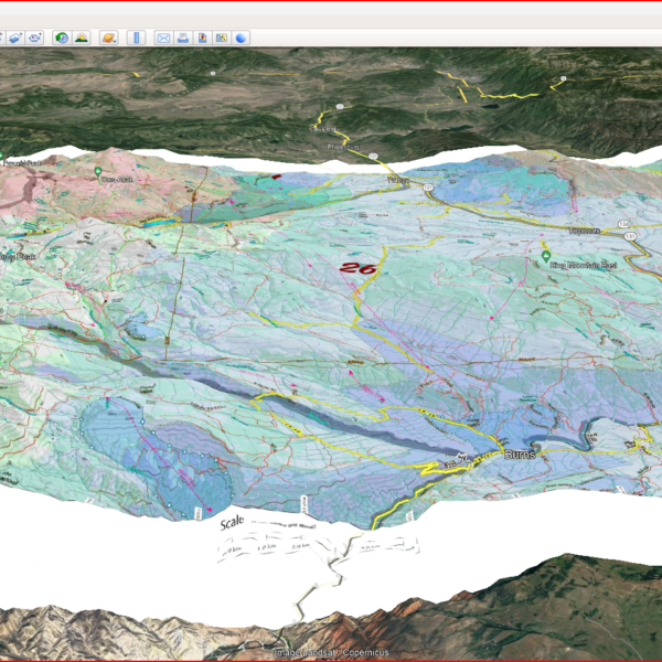
There is more. We include a directory on the thumb drive called 'Bonus Google Scout'. In the directory there are Google Earth versions of our concentration information to load directly into Google Earth. Load the unit boundaries then load summer ranges and migration routes. Zoom in and out of Google's great satellite images with new context. Truly, this is one of the best scouting tools for Colorado.
Each map has a QR code. Use it to download the maps to your Smartphone (additional fee may apply). Use Avenza Maps in Airplane mode as a fully functioning GPS in the backcountry to view an exact copy of the map in your hand, on your phone.