




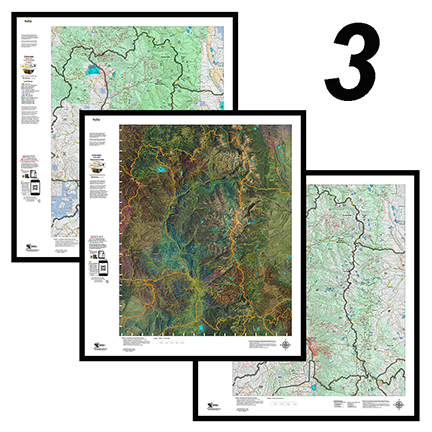
3 Colorado Moose Printed Maps – Land Ownership, Satellite, Topo – Save $30
This combo includes 3 printed custom maps with roads and trails extracted from the USGS 7.5 minute Quad maps.
The land ownership maps are built using current land ownership data from the BLM identifying private, BLM, National Forest, CPW and other public land parcels. The Land Ownership and Satellite maps have plotted kill sites and drainages with summer and winter concentrations. The kill sites are color coded by year. The Topo Map provides a traditional Topo view with unit boundaries and the shaded green vegetation.
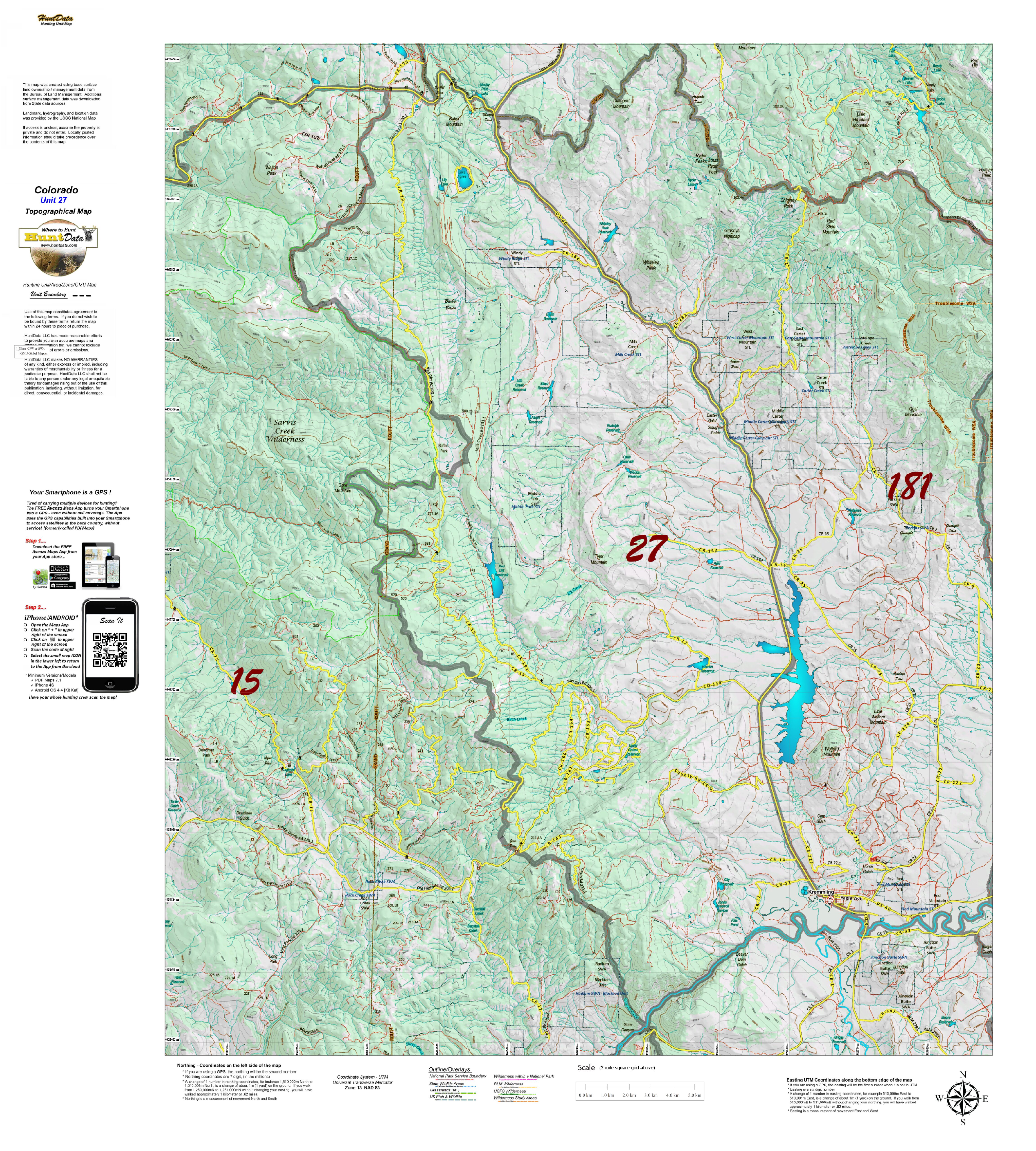
CO Moose Topographical Unit Map
Our Topo Maps are built from the ground up at 1:60,000, 1:100,000 and 1:120,000 scales adjusted based on the size of the unit. The maps provide a traditional Topographical Map view with National Forest and other Public Land boundaries. The map is printed on our popular tear and water resistant map fabric.
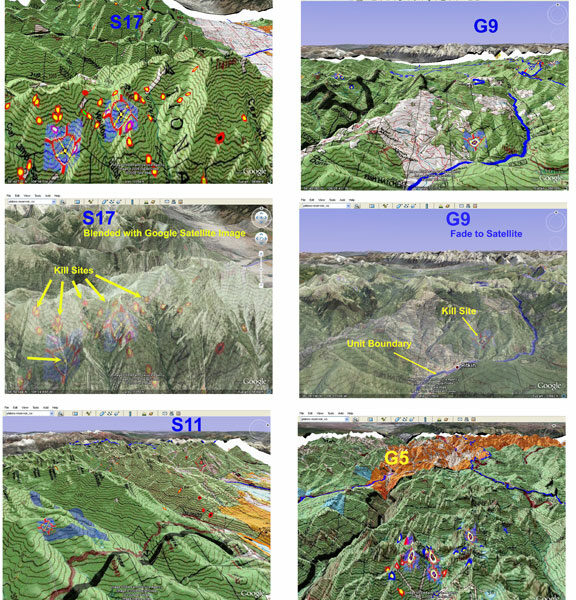
Colorado 3D Moose Map.
View a map of your Moose unit in 3D on Google Earth! Click Here to see the Statewide GMU Reference Map.
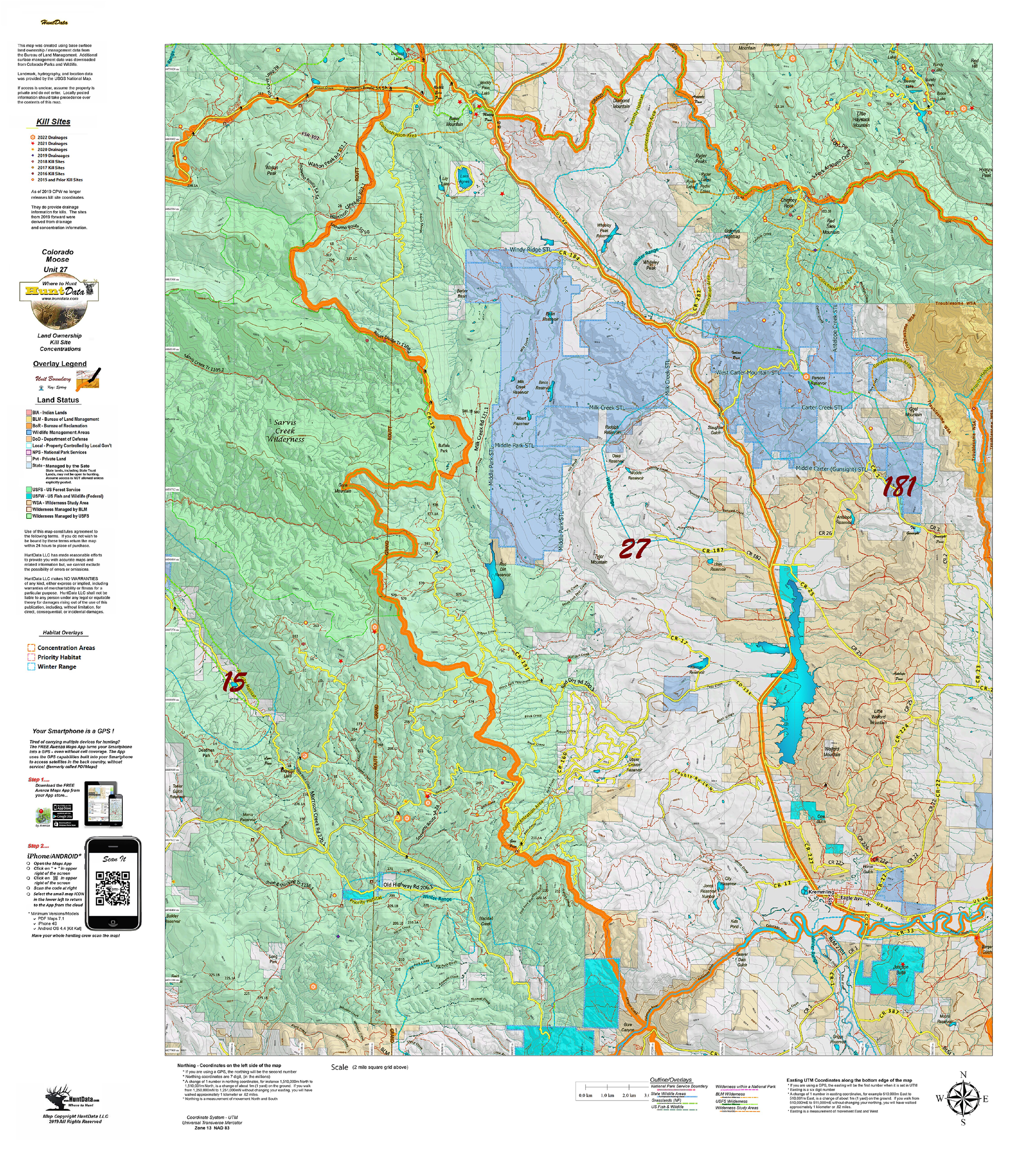
Colorado Moose Kill Sites and Concentrations on Land Ownership Map
A vibrant moose unit map with land ownership, kill drainages, kill sites color coded by year, summer and winter concentrations, and migration corridors. Our base land ownership maps vary from 1:60,000 to 1:120,000 depending on the unit size. All of the maps display the roads and trails layer extracted from the USGS 7.5 minute map series. The maps are printed on our rugged tear proof and water resistant fabric that will last as long as your hunting memories!
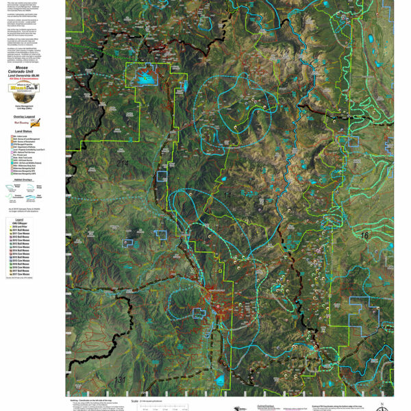
Colorado Moose Kill Sites and Concentrations on Satellite Map.
Custom Satellite Images with plotted kill sites color coded by year. Includes unit boundaries, roads and trails from the USGS 7.5 minute maps.