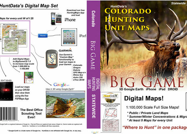
A collection of 3D maps for every unit in Colorado. The Statewide Digital Map set has a 3D version of our printed maps. Land Ownership for every unit, concentration maps for Elk, Deer, Turkey, Antelope, and Bear. Load the maps from the thumb drive and explore your unit and every unit around you. Discover concentration areas you never knew of, trace migration routes, and find resident herds. All in 3D!
Each map has a QR code to load the map into Avenza Maps (free App) on your Smartphone.
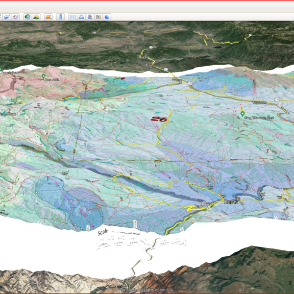
There is more. We include a directory on the thumb drive called ‘Bonus Google Scout’. In the directory there are Google Earth versions of our concentration information to load directly into Google Earth. Load the unit boundaries then load summer ranges and migration routes. Zoom in and out of Google’s great satellite images with new context. Truly, this is one of the best scouting tools for Colorado.