


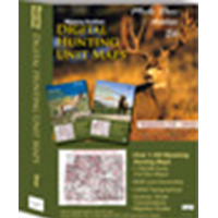
Wyoming Statewide Digital Map Collection.
A first of its kind. The Statewide Wyoming Map set consists of over 1,100 maps. This includes 3 maps for every elk Unit. A Topo map with boundaries, a Land Ownership Map from the BLM, and a first of its kind - a habitat map showing summer range, winter range, and migration routes. View these maps on your desktop or go mobile and load them to your iPhone, iPad, or DROID. A must-have for serious hunters.
Select options
This product has multiple variants. The options may be chosen on the product page
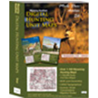
Wyoming Statewide Digital Map Collection.
A first of its kind. The Statewide Wyoming Map set consists of over 1,100 maps. This includes 3 maps for every Deer Unit. A Topo map with boundaries, a Land Ownership Map from the BLM, and a first of its kind - a habitat map showing summer range, winter range, and migration routs. View these maps on your desktop or go mobile and load them to your iPhone, iPad, or DROID. A must-have for serious hunters.
Select options
This product has multiple variants. The options may be chosen on the product page
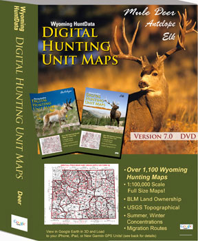
Digital Maps – Wyoming State Map Set.
A first of its kind. The Statewide Wyoming Map set consists of over 1,100 maps. This includes 3 maps for every Antelope Unit. A Topo map with boundaries, a Land Ownership Map from the BLM, and a first of its kind - a habitat map showing summer range, winter range, and migration routs. View these maps on your desktop or go mobile and load them to your iPhone, iPad, or DROID. A must-have for serious hunters.
Select options
This product has multiple variants. The options may be chosen on the product page
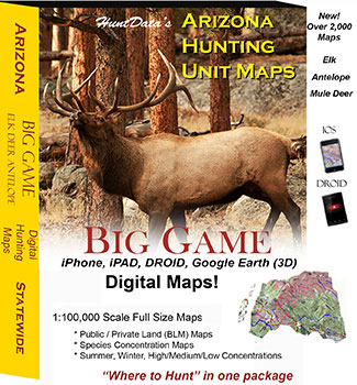
Arizona Digital Maps.
Digital Maps for every unit in Arizona - use them in 3D in Google Earth or in Avenza Maps App on your iOS,DROID or Windows device!
Select options
This product has multiple variants. The options may be chosen on the product page
California Deer Zone Maps.
Select options
This product has multiple variants. The options may be chosen on the product page
California Elk Zone Maps.
1:100,000 scale map displaying Zone boundaries, national forest, private, BLM, State, and Federal Lands.
Select options
This product has multiple variants. The options may be chosen on the product page
Washington Land Ownership Maps.
1:100,000 scale Unit Maps for Washington. In addition to unit boundaries, the maps display National Forest, State, Private, USFW and Federal Lands.
Select options
This product has multiple variants. The options may be chosen on the product page
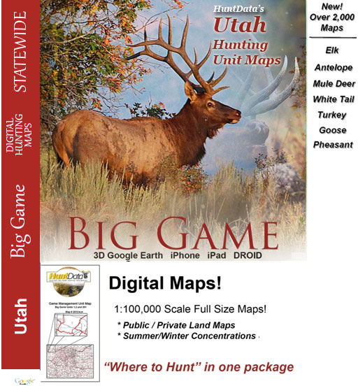
Utah Digital Maps.
Digital Maps for every unit in Utah - use them in 3D in Google Earth or in Avenza Maps App on your iOS, DROID or Windows device!
Select options
This product has multiple variants. The options may be chosen on the product page
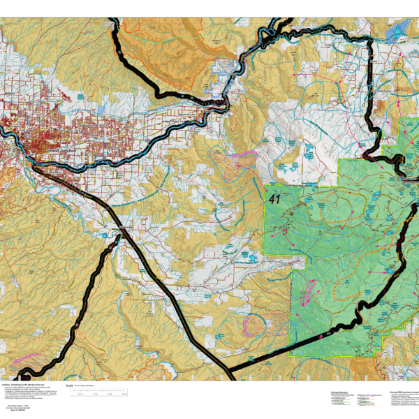
CO Land Ownership with Elk Concentrations – from $14.95 to $29.95
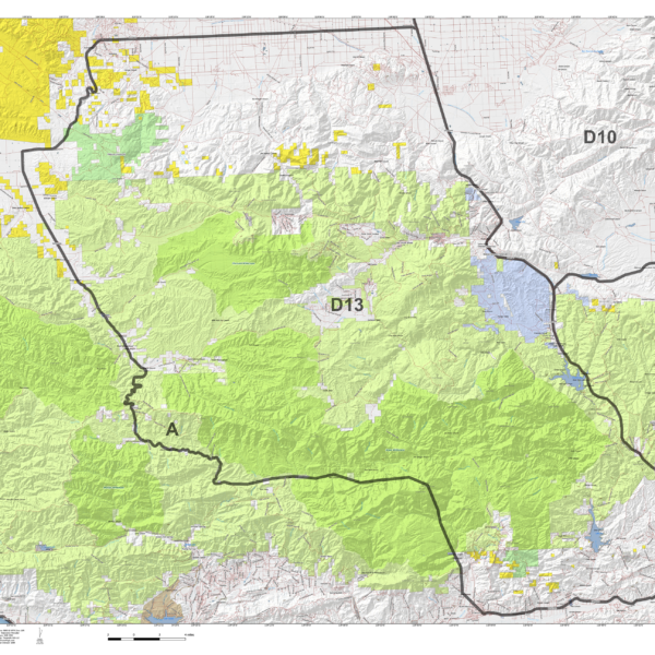
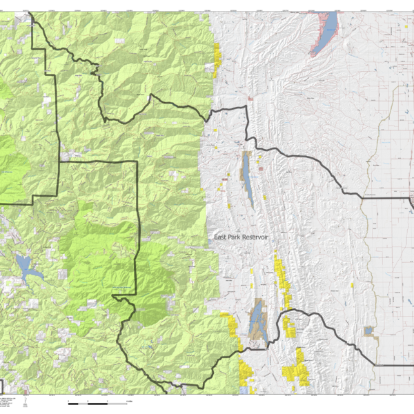
Over the years this has been our #1 requested map. This year, we used 5 different software processes to create the Colorado Elk Hybrid Map. This map is built on our NEW Land Ownership Maps. We then overlay a 7.5 minute (Quads) road layer from the USGS, add National Forest Roads, add lakes and streams from the USGS and then add the Colorado Parks and Wildlife summer, winter, and resident herd, migration routes and corridors for elk. For Mule Deer, we add summer and winter concentration areas. This map has it all. Its all printed on our rugged map fabric. The fabric has a translucency that brings the colors and information to life! The is truly the most comprehensive map we've produced in the past 25 years. Click on the small map at left to see a larger sample. Then, scroll to the bottom to order.
Select options
This product has multiple variants. The options may be chosen on the product page
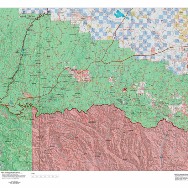
Arizona Land Ownership Unit Map – ON SALE NOW! $14.95
We took new land ownership data and built these maps from the bottom up then added detailed water tank locations. We then added USGS roads and trails from their 7.5min Quad Series. The maps are printed on our new rugged map fabric. A great tool to find out where you can hunt. Click Here to see the Arizona Unit Reference Map. The maps are on a mega sale! This is the best deal we have every offered for these maps. The maps are printed on tear resistant plastic infused paper to provide resistance to the elements.
Select options
This product has multiple variants. The options may be chosen on the product page
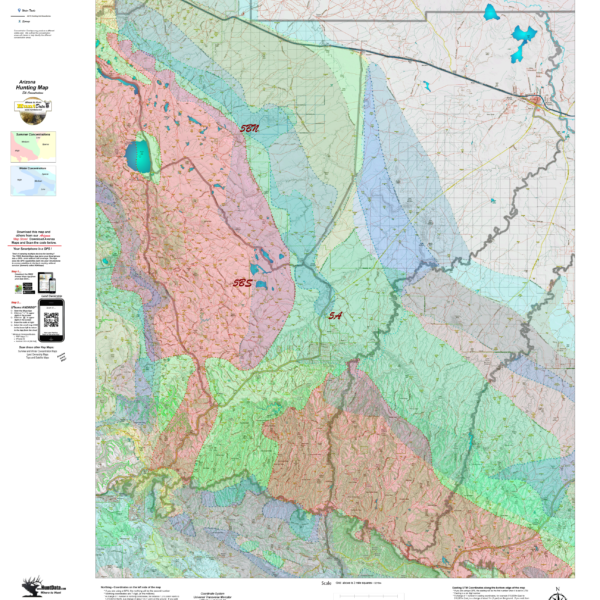
Arizona Elk Concentration Map
We project Summer, Winter, and Fall Concentration data over a Topo base to create a informative and colorful concentration map. We've added detailed water tank locations with roads and trails from the USGS 7.5min Quad series. The maps will help you determine where you SHOULD be hunting in your unit. This map should be part of your hunting tool kit! Click on the small unit at left to see a sample map. Move to the bottom of the sample map to choose a unit, then to the bottom right to Add To Cart.
Select options
This product has multiple variants. The options may be chosen on the product page
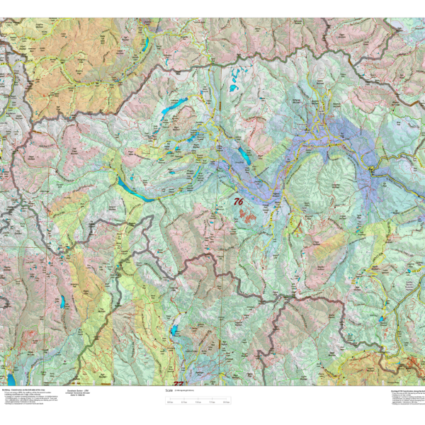
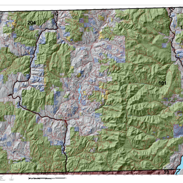
Colorado Elk Concentration Maps.
Elk Concentration Maps were invented by HuntData. These maps have been our best sellers over the past 25 years. This year, we updated the styles, enhancing boundaries, clarifying summer, winter, and resident herds, migration routes and adding 7.5-minute roads from the USGS Quad collection. The maps are printed on our rugged map fabric designed to last as long as your hunting memory.
Select options
This product has multiple variants. The options may be chosen on the product page