


ID Antelope Land Ownership.
The Land Ownership Maps are built using land ownership data from USGS, National Forest and the State. We add current location data, streams, lakes, roads and trails from the USGS 7.5 minute Quad Map data set then print it on our rugged map fabric to create the best map in the industry. Click on the small map at left to see a larger sample. Scroll to the bottom of the map to order then move to the bottom right to Add To Cart.
Select options
This product has multiple variants. The options may be chosen on the product page
Idaho Bear Land Ownership Maps.
The Land Ownership Maps are built using land ownership data from USGS, National Forest and the State. We add current location data, streams, lakes, roads and trails from the USGS 7.5 minute Quad Map data set then print it on our rugged map fabric to create the best map in the industry. Click on the small map at left to see a larger sample. Scroll to the bottom of the map to order then move to the bottom right to Add To Cart.
Select options
This product has multiple variants. The options may be chosen on the product page
Idaho Bighorn Sheep Unit Maps
The Land Ownership Maps are built using land ownership data from USGS, National Forest and the State. We add current location data, streams, lakes, roads and trails from the USGS 7.5 minute Quad Map data set then print it on our rugged map fabric to create the best map in the industry. Click on the small map at left to see a larger sample. Scroll to the bottom of the map to order then move to the bottom right to Add To Cart.
Select options
This product has multiple variants. The options may be chosen on the product page
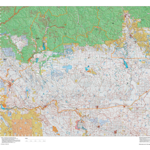
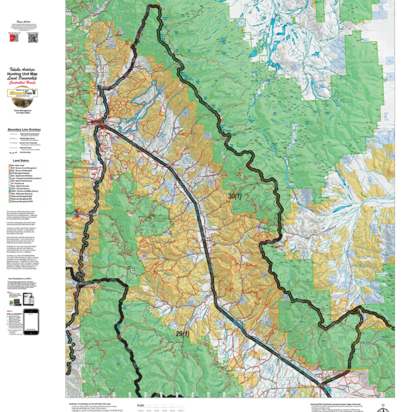
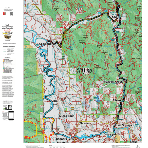
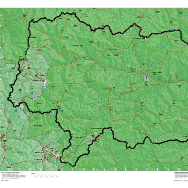
Idaho Elk Controlled Hunt Maps.
The Land Ownership Maps are built using land ownership data from USGS, National Forest and the State. We add current location data, streams, lakes, roads and trails from the USGS 7.5 minute Quad Map data set then print it on our rugged map fabric to create the best map in the industry. Other maps you see online are created from scanned BLM maps. The scanned maps from the BLM area great but many are 5 or more years old. Our maps are built from the ground up with current data. We use several different software programs to handle the complexity and publication of these maps. These maps are printed on our rugged map fabric to create a map that will last as long as your memories! Choose a unit below then move to the bottom right and click ADD to CART to order your map.
Select options
This product has multiple variants. The options may be chosen on the product page
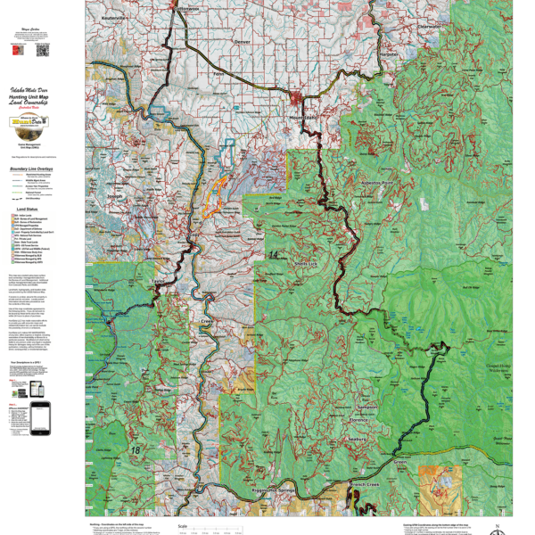
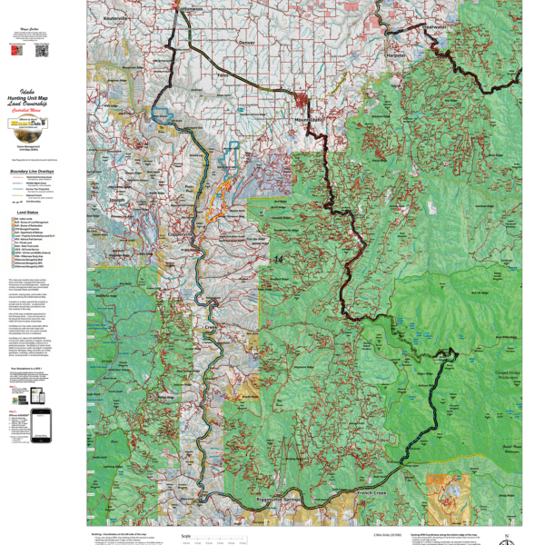
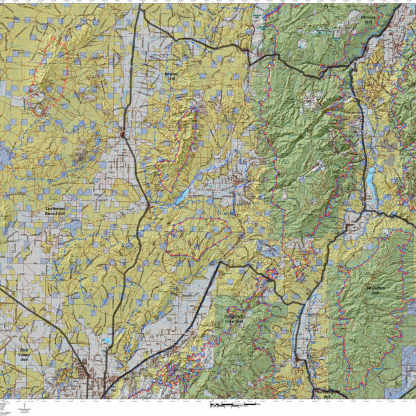
Idaho Mule Deer Land Ownership Maps for Controlled Hunts.
The Land Ownership Maps are built using land ownership data from USGS, National Forest and the State. We add current location data, streams, lakes, roads and trails from the USGS 7.5 minute Quad Map data set then print it on our rugged map fabric to create the best map in the industry. Click on the small map at left to see a larger sample. Scroll to the bottom of the map to order then move to the bottom right to Add To Cart.
Select options
This product has multiple variants. The options may be chosen on the product page
Idaho Moose Unit Maps.
The Land Ownership Maps are built using land ownership data from USGS, National Forest and the State. We add current location data, streams, lakes, roads and trails from the USGS 7.5 minute Quad Map data set then print it on our rugged map fabric to create the best map in the industry. Click on the small map at left to see a larger sample. Scroll to the bottom of the map to order then move to the bottom right to Add To Cart.
Select options
This product has multiple variants. The options may be chosen on the product page
Idaho Mountain Goat Unit Maps.
The Land Ownership Maps are built using land ownership data from USGS, National Forest and the State. We add current location data, streams, lakes, roads and trails from the USGS 7.5 minute Quad Map data set then print it on our rugged map fabric to create the best map in the industry. Click on the small map at left to see a larger sample. Scroll to the bottom of the map to order then move to the bottom right to Add To Cart.
Select options
This product has multiple variants. The options may be chosen on the product page
Hybrid! Utah Elk Land Ownership and Habitat Hybrid Map.
Our Hybrid Maps are built with land ownership data then we project Summer, Fall, and Winter Concentration data to create a map showing you not only where you CAN hunt, but where you SHOULD hunt as well! Click on the small map at left to see a larger sample then Scroll to the bottom of the map to order then move to the bottom right to Add To Cart.We also add the USGS roads and trails from their 7.5minute Quad Maps. We use 5 different software programs to handle the complexity and publication of these maps. The Hybrid maps are printed on our rugged map fabric to create a map that will last as long as your memories!
Select options
This product has multiple variants. The options may be chosen on the product page
Hybrid! UT Mule Deer Land Ownership AND habitat on one map.
Our Hybrid Maps are built with land ownership data then we project Summer, Fall, and Winter Concentration data to create a map showing you not only where you CAN hunt, but where you SHOULD hunt as well! Click on the small map at left to see a larger sample then Scroll to the bottom of the map to order then move to the bottom right to Add To Cart.We also add the USGS roads and trails from their 7.5minute Quad Maps. We use 5 different software programs to handle the complexity and publication of these maps. The Hybrid maps are printed on our rugged map fabric to create a map that will last as long as your memories!
Select options
This product has multiple variants. The options may be chosen on the product page
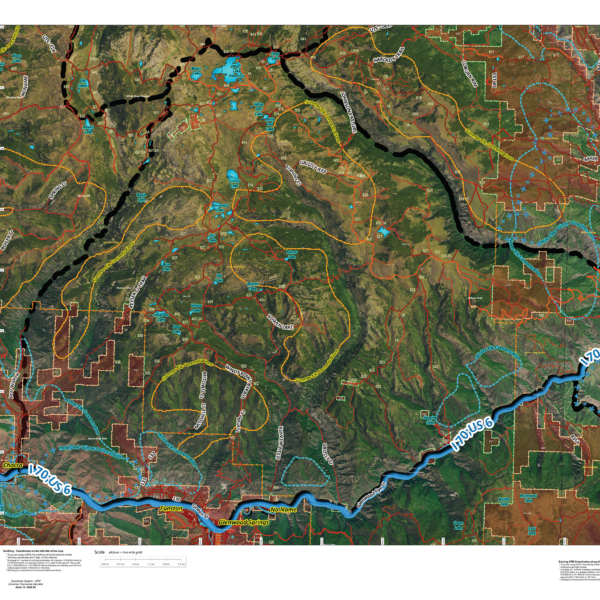
CO Satellite with Land Ownership AND Elk Concentrations.
NEW! This map takes 6 different software programs to develop. We use an enhanced set of Satellite Images, project Land Ownership, shading private in red, then add elk summer, winter, resident herd and migration data. This map is good enough to hang on the wall! We print it all on our rugged map fabric for an heirloom quality map. You will study this map for hours!
Select options
This product has multiple variants. The options may be chosen on the product page
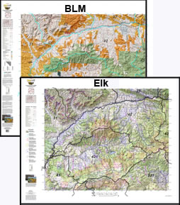
CO 2 Map Combo Special! Elk and Land Ownership Maps are $19.95 each with the 2 map “Combo Pack”.
Now pay $19.95 each (2 maps) when you buy both the Land Ownership and Elk Concentration Maps for your Unit. Printed on our rugged fabric material, the 2 Map "Hunting Pack" - Land Ownership and Elk Concentration Maps - are the ideal field guide for your hunting group! Click Here to see the Statewide GMU Reference Map.
Select options
This product has multiple variants. The options may be chosen on the product page
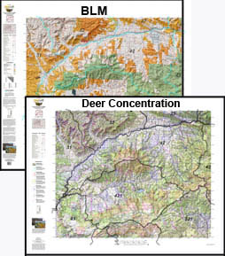
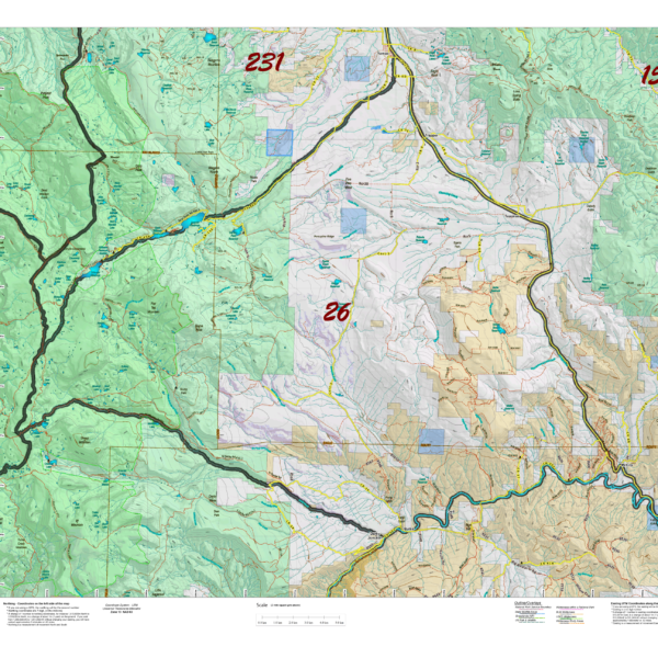
CO Custom Mule Deer 2 Printed Map Combo – Land Ownership and Concentration Maps.
2 Map Combo, Save $20 when you order the Land Ownership and Concentration Map together. Discover where you CAN (land ownership) and SHOULD (concentrations) be hunting. Get you whole hunting crew on the same page! The two maps are the Land Ownership and Habitat Maps. Both are printed on our rugged map fabric.
Select options
This product has multiple variants. The options may be chosen on the product page