


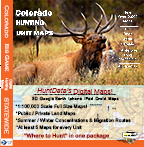

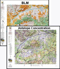
CO Custom Antelope Combo – Land Ownership and Concentration Maps.
Buy the tools needed to find out where you CAN hunt and where you SHOULD hunt. Use our concentration maps to pinpoint the public lands then identify whether the concentrations are on the public land. Its all about "Where to Hunt". The maps are printed on our tear and water resistant fabric materials that will last as long s your memories.
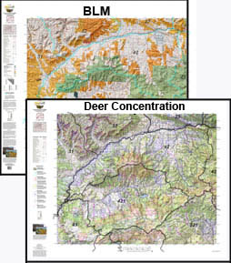
CO Custom Mule Deer 2 Printed Map Combo – Land Ownership and Concentration Maps.
2 Map Combo, Save $20 when you order the Land Ownership and Concentration Map together. Discover where you CAN (land ownership) and SHOULD (concentrations) be hunting. Get you whole hunting crew on the same page! The two maps are the Land Ownership and Habitat Maps. Both are printed on our rugged map fabric.
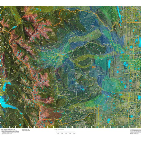
CO Hybrid Satellite Images with Elk Concentrations.
An enhanced satellite images with roads and trails fron the USGS 7.5 minute Quad maps and Elk Summer and Winter Concentration Areas.
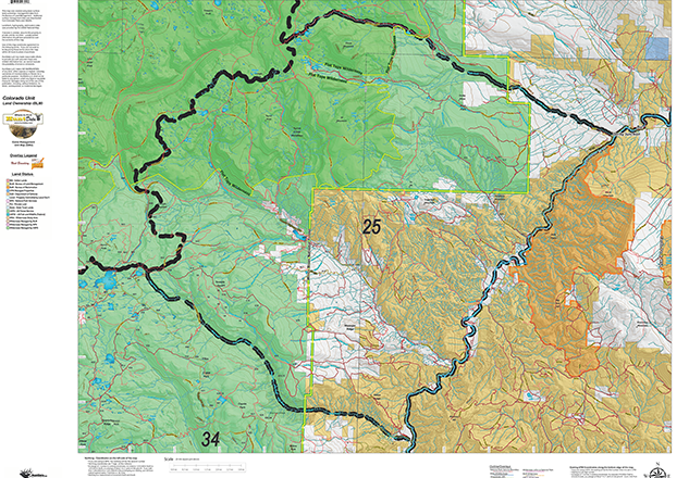
CO Land Ownership with Elk Concentrations
Over the years this has been our #1 requested map. This year, we used 5 different software processes to create
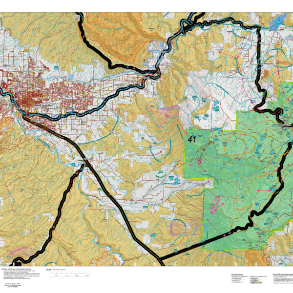
CO Land Ownership with Elk Concentrations – from $14.95 to $29.95
Over the years this has been our #1 requested map. This year, we used 5 different software processes to create the Colorado Elk Hybrid Map. This map is built on our NEW Land Ownership Maps. We then overlay a 7.5 minute (Quads) road layer from the USGS, add National Forest Roads, add lakes and streams from the USGS and then add the Colorado Parks and Wildlife summer, winter, and resident herd, migration routes and corridors for elk. For Mule Deer, we add summer and winter concentration areas. This map has it all. Its all printed on our rugged map fabric. The fabric has a translucency that brings the colors and information to life! The is truly the most comprehensive map we've produced in the past 25 years. Click on the small map at left to see a larger sample. Then, scroll to the bottom to order.
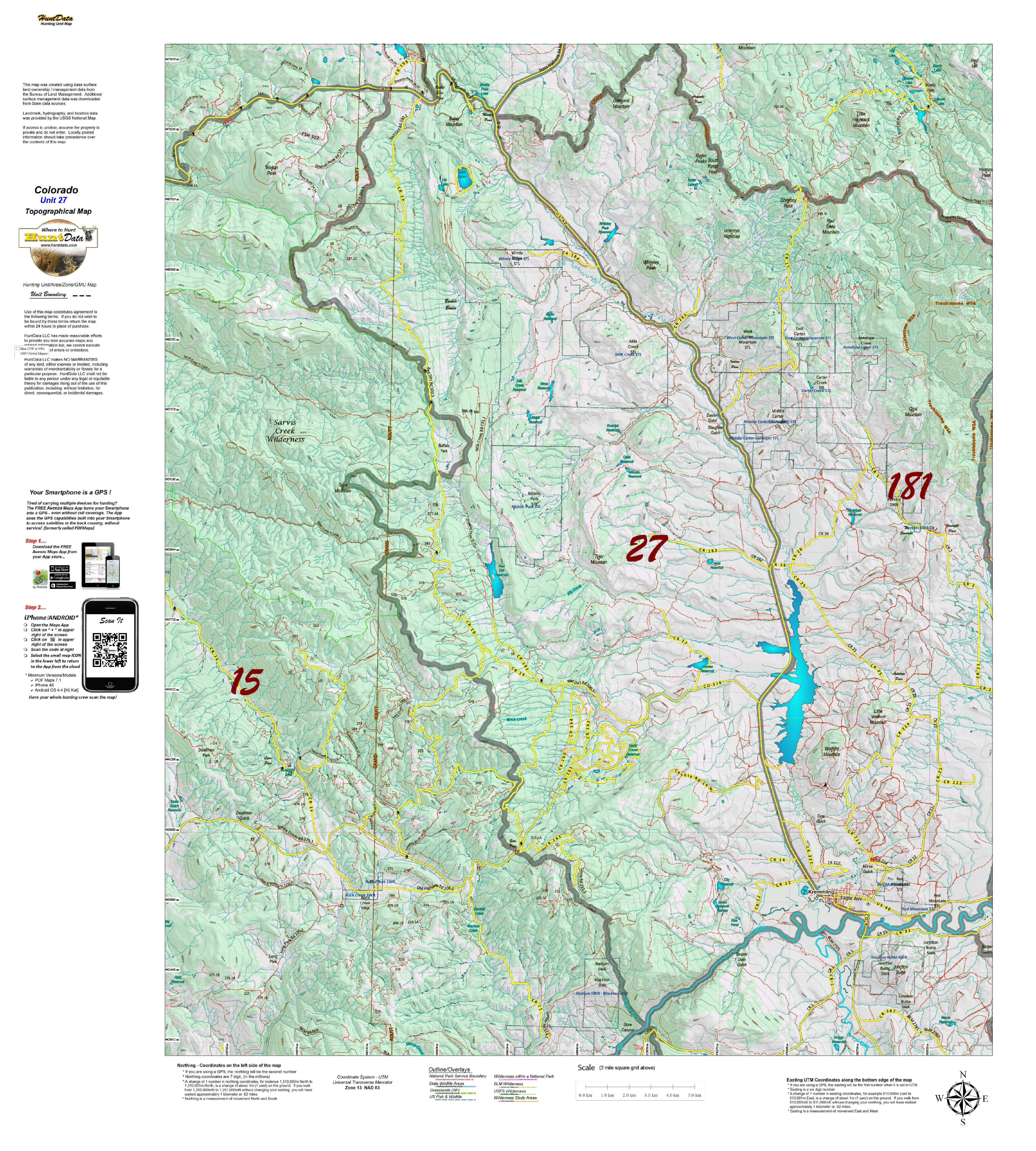
CO Moose Topographical Unit Map
Our Topo Maps are built from the ground up at 1:60,000, 1:100,000 and 1:120,000 scales adjusted based on the size of the unit. The maps provide a traditional Topographical Map view with National Forest and other Public Land boundaries. The map is printed on our popular tear and water resistant map fabric.
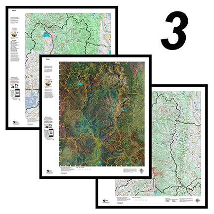
CO Mountain Goat 3 Printed Map Combo, Save $30
Get all 3 great maps. The Land Ownership and Satellite Maps display color-coded kill sites and concentrations. The Topo includes summer and winter concentration areas.
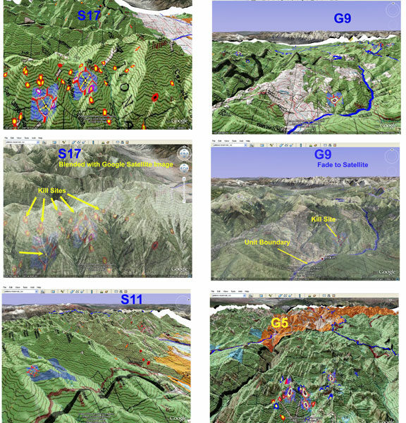
CO Mountain Goat 3D Scouting Maps!
3D Google Earth maps of any Mountain Goat Unit! The maps (3) are exact copies of the Land Ownership and Satellite Images with kill sites and drainages, concentration areas, public, and private land.
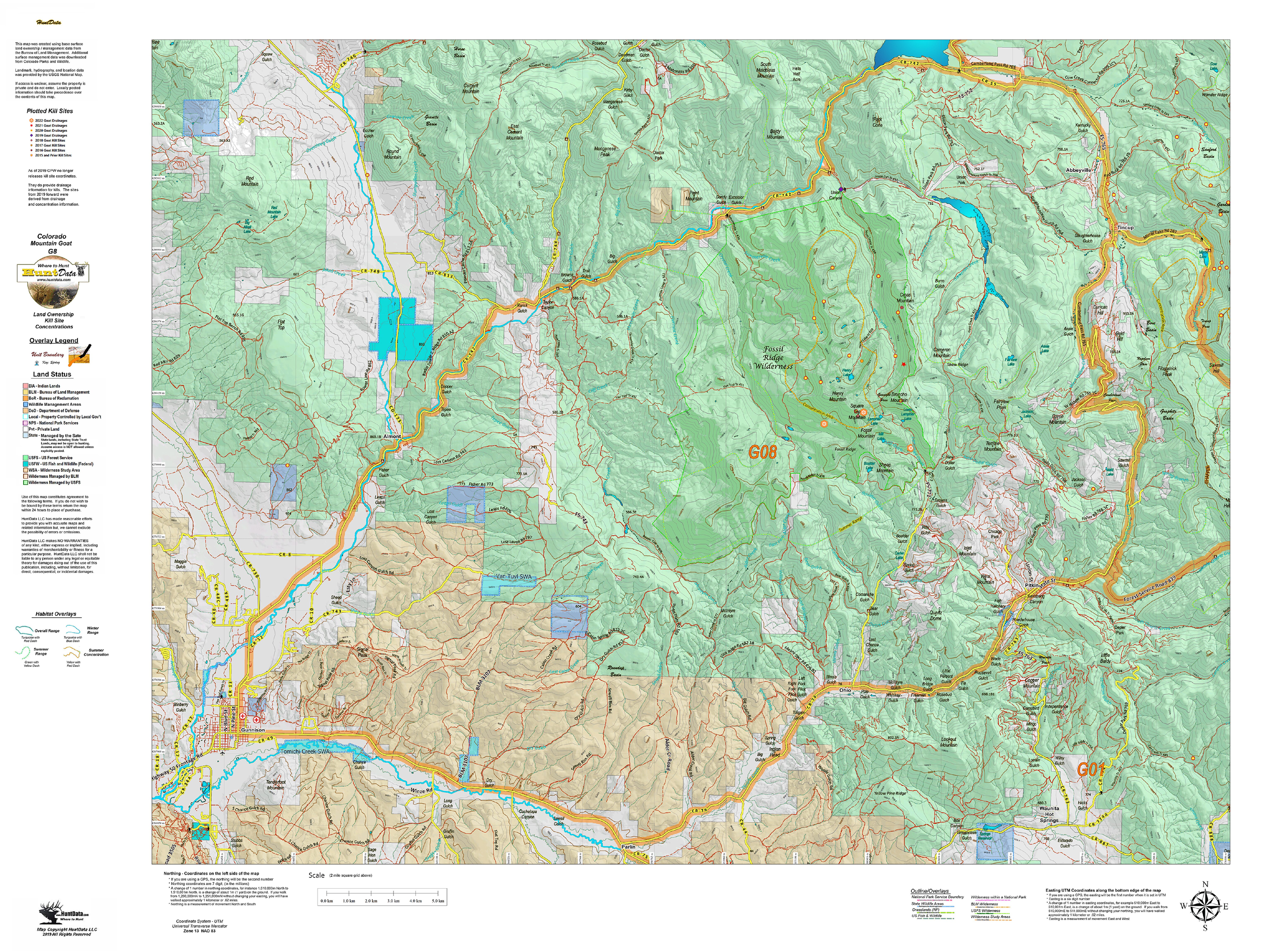
CO Mountain Goat Land Ownership Unit Map with Kill Sites and Concentrations
A vibrant Mountain Goat unit map with land ownership, kill drainages, kill sites color coded by year, summer and winter concentrations, and migration corridors. Our base land ownership maps vary from 1:60,000 to 1:120,000 depending on the unit size. All of the maps display the roads and trails layer extracted from the USGS 7.5 minute map series. The maps are printed on our rugged tear proof and water resistant fabric that will last as long as your hunting memories!
CO Mountain Goat Satellite Map with Kill Sites and Concentrations
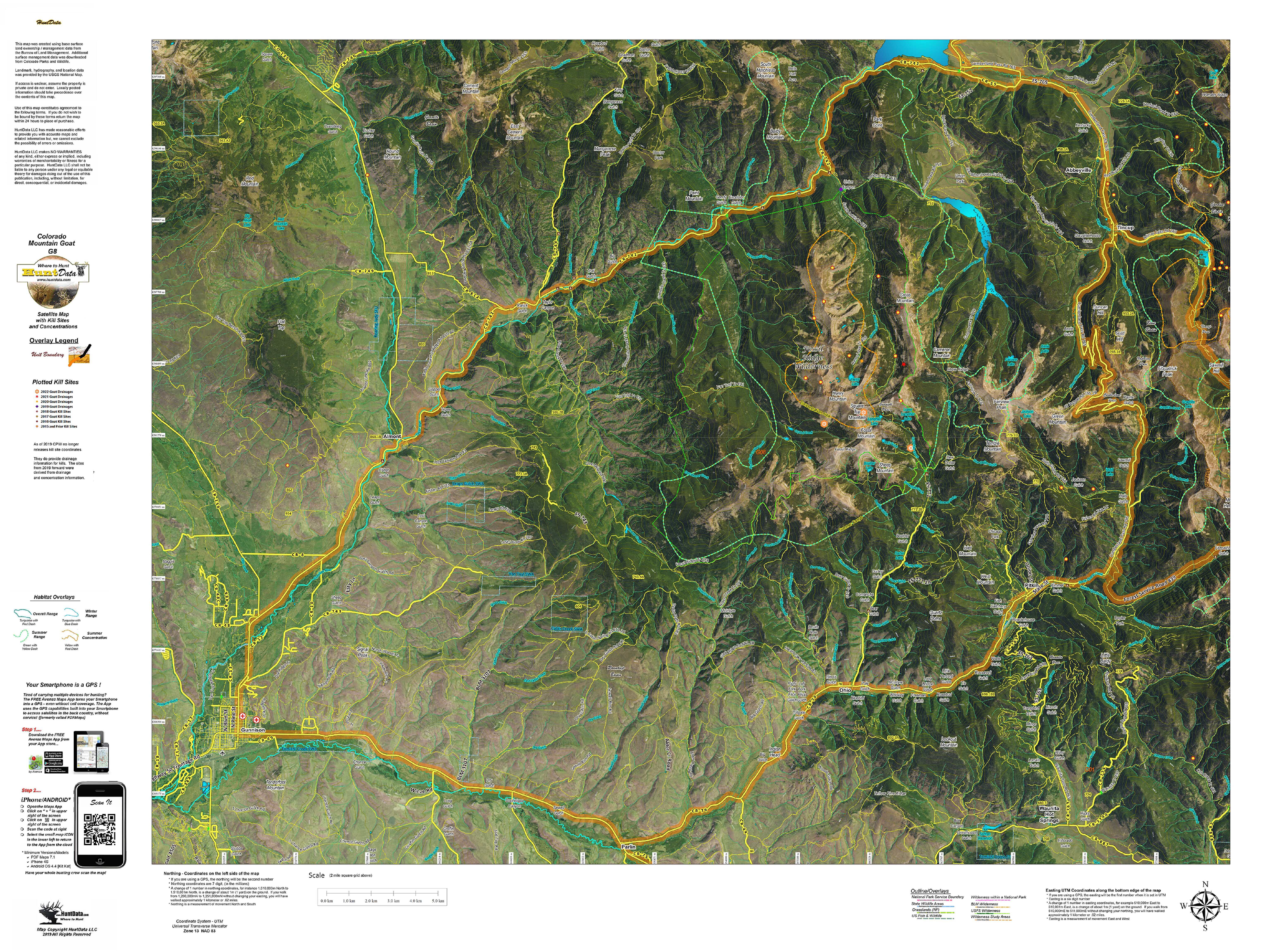
A brand new map with a satellite image base. On top, we project locations, roads, and trails from the USGS. Over that we project kill sites, kill drainages, summer and winter concentrations. This creates a great scouting tool for your once in a lifetime hunt. We print the map on our tear and water resistant fabric to make it really pop. When you add the digital maps you get Google Earth 3D images for the Land Ownership, Satellite, and Topo Maps. These maps all have a QR code you can scan using the Avenza Maps App on your Smartphone. Plan on the kitchen table, then 3D in Google and on your phone in the woods. The perfect hunting package.
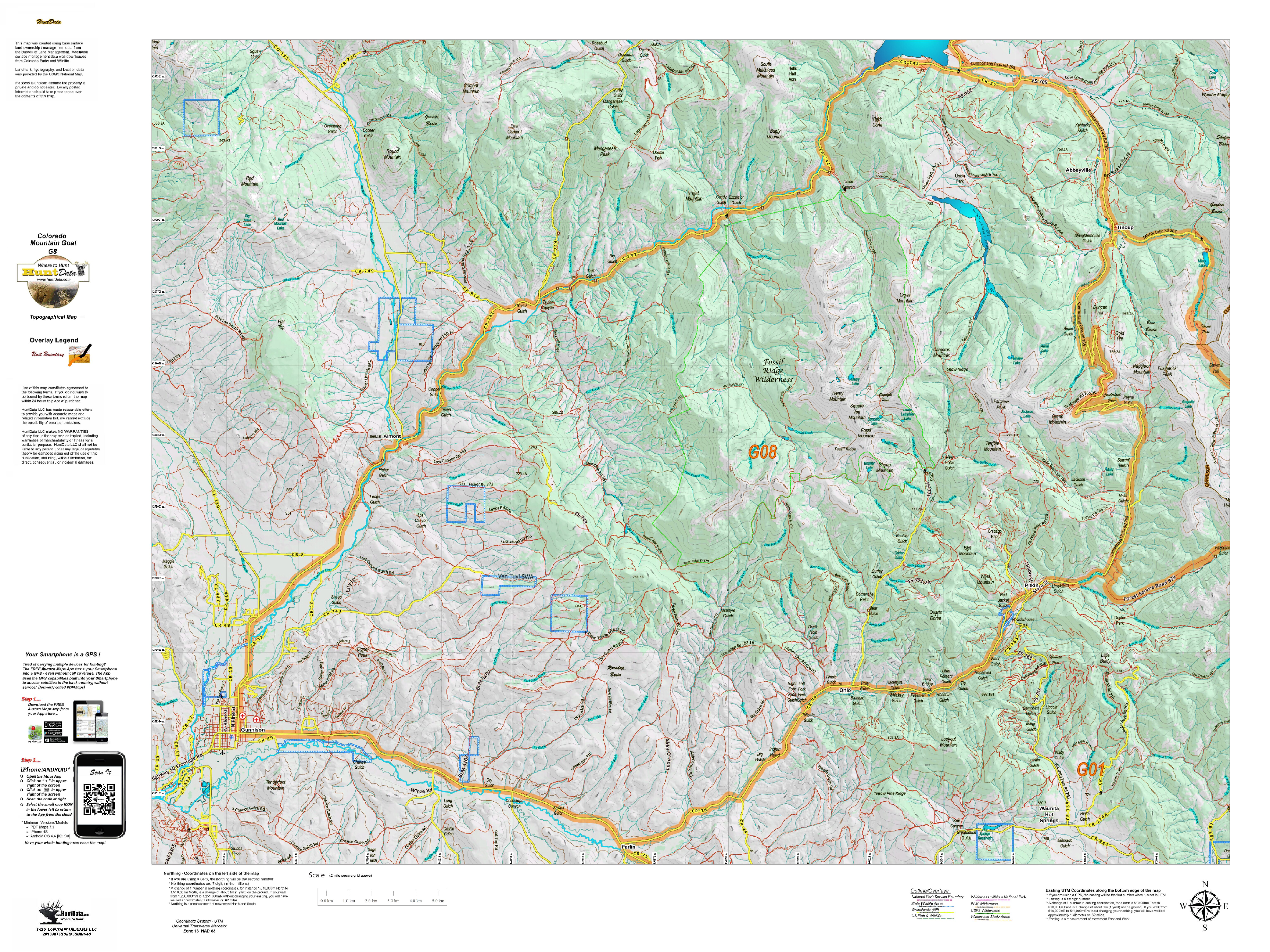
CO Mountain Goat Topo Map
Our Topo Maps display unit boundaries and are built from the ground up at 1:60,000, 1:100,000 and 1:120,000 scales adjusted based on the size of the unit. All maps include the roads and trails from the popular USGS 7.5 minute Quads and are printed on our tear and water resistant fabric. When you add the digital maps you get Google Earth 3D images for the Land Ownership, Satellite, and Topo Maps. These maps all have a QR code you can scan using the Avenza Maps App on your Smartphone. Plan on the kitchen table, then 3D in Google and on your phone in the woods. The perfect hunting package.
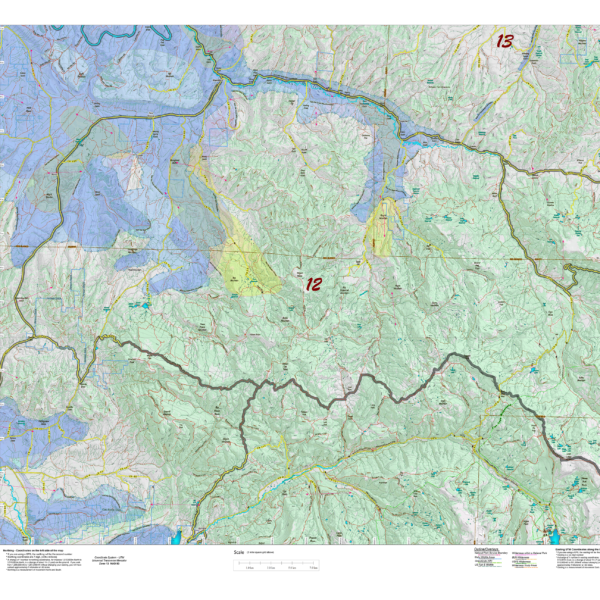
CO Mule Deer Concentration Maps $19.95 to $29.95
We project Summer, Winter, and Fall Concentration data over a Topo base to create an informative and colorful concentration map. Click on the small map at left to see a larger sample. Scroll to the bottom of the map to order then move to the bottom right to Add To Cart. The maps are designed to help you determine where you SHOULD be hunting in your unit during your season. These maps are built on the USGS 1:100,000 base Topo series with enhanced Lakes, Roads and Trails from the USGS 7.5 minute Quad Maps. This map should be part of your hunting tool kit!