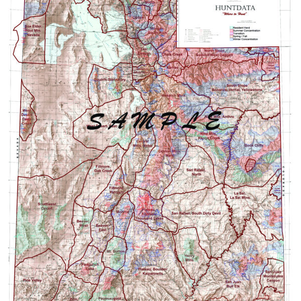
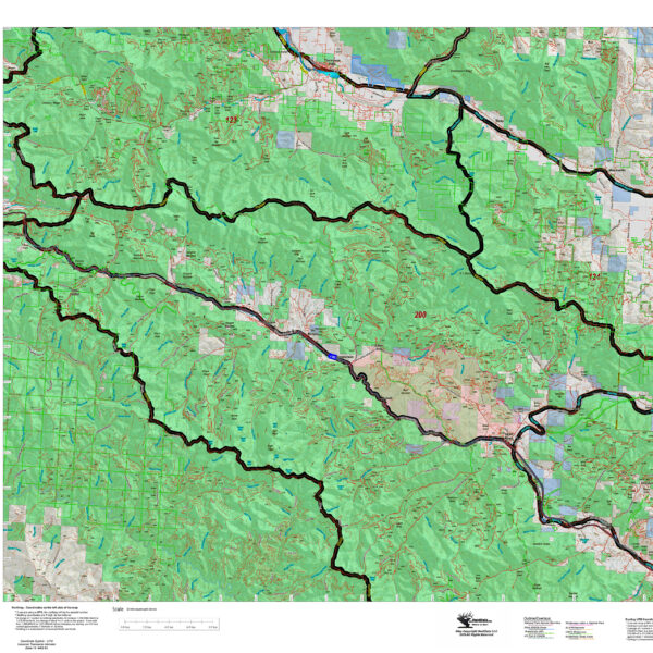
Custom Colorado Whitetail Deer Concentration Maps.
Select options
This product has multiple variants. The options may be chosen on the product page
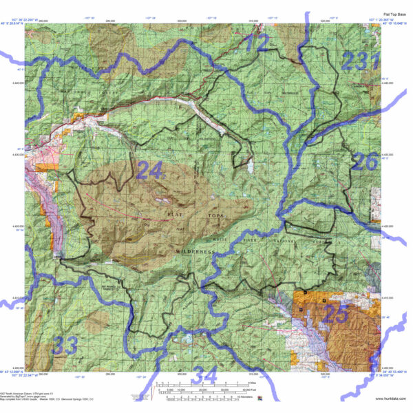
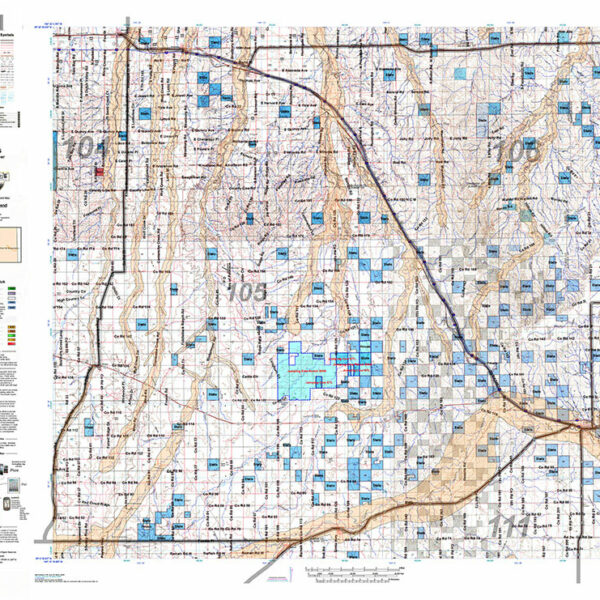
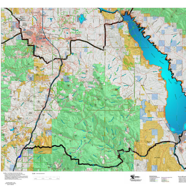
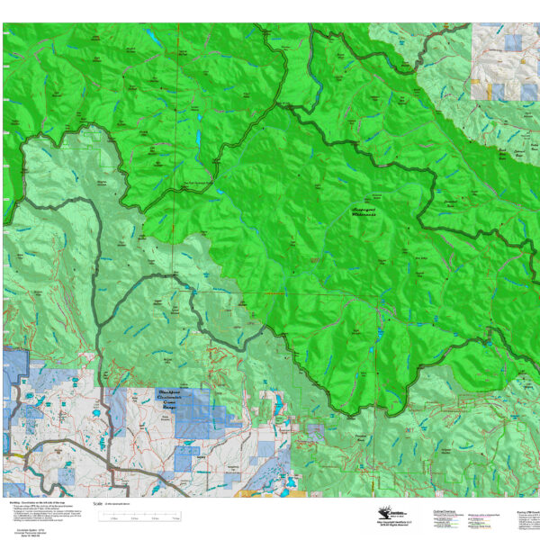
Colorado Wilderness Hunting Maps.
1:100,000 scale maps for Colorado's Wilderness areas. Each map displays Wilderness Boundaries as well as Unit (GMU) boundaries. The maps are printed on waterproof, tear resistant paper. Choose just the GMU boundaries or add the elk concentration data as well.
Select options
This product has multiple variants. The options may be chosen on the product page
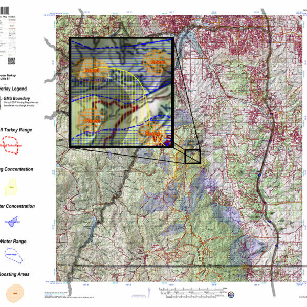
Custom Colorado Turkey Maps
Select options
This product has multiple variants. The options may be chosen on the product page
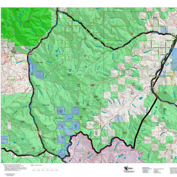
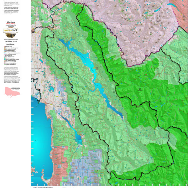
Montana Elk District Land Ownership Maps
Custom maps built from the ground up using the latest BLM Land Status information, USGS 7.5 minute roads, National Forest, State, and other land ownership information with the latest Bighorn Sheep District boundary and portion (restrictions or closed) highlights. All printed on our rugged map fabric to creating a vibrant, long-lasting map.
Select options
This product has multiple variants. The options may be chosen on the product page
Montana Antelope District Land Ownership Maps
Custom maps built from the ground up using the latest BLM Land Status information, USGS 7.5 minute roads, National Forest, State, and other land ownership information with the latest Bighorn Sheep District boundary and portion (restrictions or closed) highlights. All printed on our rugged map fabric to creating a vibrant, long-lasting map.
Select options
This product has multiple variants. The options may be chosen on the product page
Montana Bighorn Sheep District Land Ownership Maps
Custom maps built from the ground up using the latest BLM Land Status information, USGS 7.5 minute roads, National Forest, State, and other land ownership information with the latest Bighorn Sheep District boundary and portion (restrictions or closed) highlights. All printed on our rugged map fabric to creating a vibrant, long-lasting map.
Select options
This product has multiple variants. The options may be chosen on the product page
Montana Mountain Goat District Land Ownership Maps
Custom maps built from the ground up using the latest BLM Land Status information, USGS 7.5 minute roads, National Forest, State, and other land ownership information with the latest Mountain Goat District boundary and portion (restrictions or closed) highlights. All printed on our rugged map fabric to creating a vibrant, long-lasting map.
Select options
This product has multiple variants. The options may be chosen on the product page
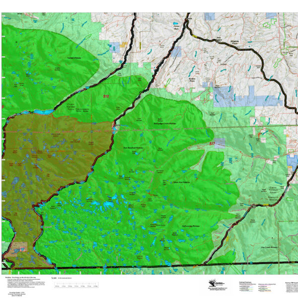
Montana Moose District Land Ownership Maps
Custom maps built from the ground up using the latest BLM Land Status information, USGS 7.5 minute roads, National Forest, State, and other land ownership information with the latest Moose District boundary and portion (restrictions or closed) highlights. All printed on our rugged map fabric to creating a vibrant, long-lasting map.
Select options
This product has multiple variants. The options may be chosen on the product page
Montana Mule Deer District Land Ownership Maps
Custom maps built from the ground up using the latest BLM Land Status information, USGS 7.5 minute roads, National Forest, State, and other land ownership information with the latest Mule Deer District boundary and portion (restrictions or closed) highlights. All printed on our rugged map fabric to creating a vibrant, long-lasting map.
Select options
This product has multiple variants. The options may be chosen on the product page
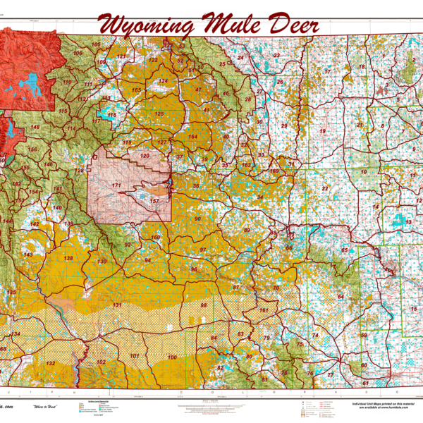
Wyoming Mule Deer Statewide Unit Map
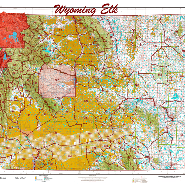
Wyoming Elk Statewide Unit Map