


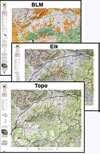
(3) Map Wyoming Hat Trick Save $30.
A combination of 3 printed maps, Land Ownership, Habitat, and Topo. All 3 have updated land ownership, roads, and trails from the USGS 7.5 minute quad maps. The Land Ownership and Habitat Maps are printed on our rugged map fabric. The Topo is printed on our tough tear and water-resistant paper. This pack shows you where you CAN and where you SHOULD hunt. Where to Hunt in one package.
Select options
This product has multiple variants. The options may be chosen on the product page
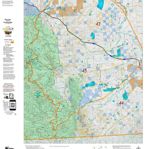
Wyoming Antelope Habitat
We updated our Topo Maps then added new habitat overlays. The overlays display Summer and Winter Concentration areas in brilliant colors. As with all of our custom maps, these maps are printed on our rugged map fabric. Click Here to see the Wyoming Antelope GMU Reference Map
Select options
This product has multiple variants. The options may be chosen on the product page
Wyoming Antelope Land Ownership and Habitat Hybrid
A great antelope map built on a landownership base with summer and winter concentration overlay data. The map provides everything you need for success. As with all of your Hybrid maps, they are printed on our rugged fabric material. Click Here to see the Wyoming Antelope GMU Reference Map
Select options
This product has multiple variants. The options may be chosen on the product page
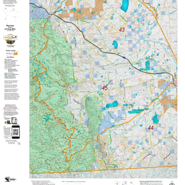
Wyoming Antelope Land Ownership.
We took new land ownership data and built these maps from the bottom up. The maps include the USGS roads and trails from their 7.5min Quad Series. The maps are printed on our new rugged map fabric. A great tool to find out where you can hunt. Click Here to see the Wyoming Antelope GMU Reference Map
Select options
This product has multiple variants. The options may be chosen on the product page
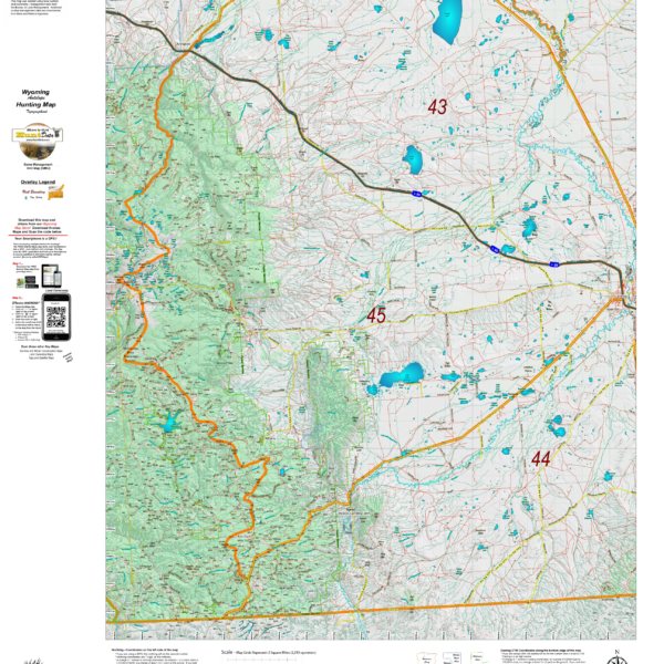
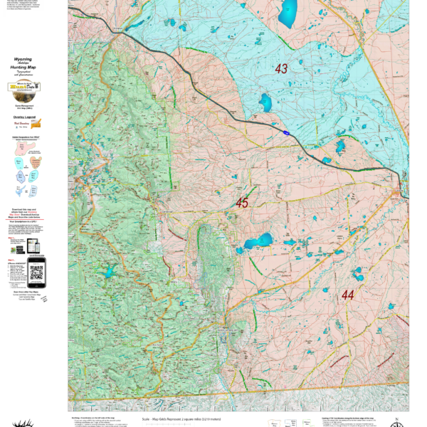
Wyoming Antelope Topo Maps.
We rebuilt the entire Topo line. We've updated the roads and trails USGS 7.5 minute Quad series. US Forest Boundaries and State Lands are newly updated and highlights. A great traditional Topo map with enhancements. Click Here to see the Wyoming Antelope GMU Reference Map
Select options
This product has multiple variants. The options may be chosen on the product page
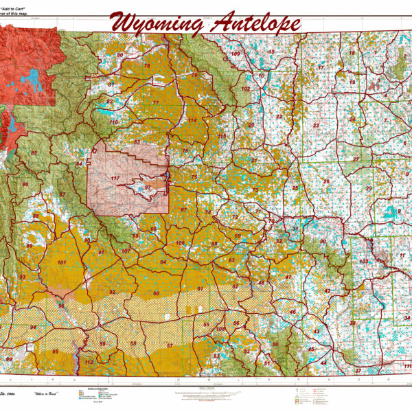
Wyoming Statewide Antelope Unit Map
Wyoming Statewide Digital Map Collection
HuntData produces the only map of this type. The 1:500,000 maps display land ownership in rich colors with antelope unit boundary overlays for the whole State. Click on the map for a larger image.
Select options
This product has multiple variants. The options may be chosen on the product page