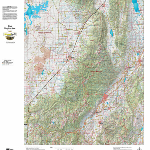
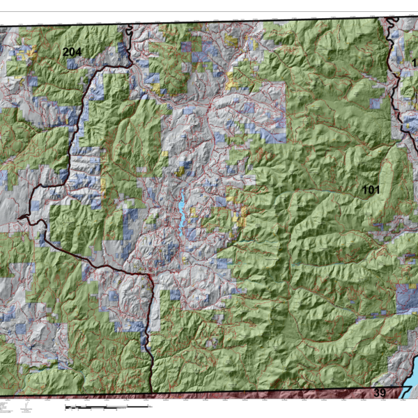
Utah Elk Topographical Unit Map
We redesigned our Topo series this year adding updated roads from the USGS 7.5 minute map series to the 1:100, 000 Topo base. Click on the small map at left to see a larger sample. Scroll to the bottom of the map to order then move to the bottom right to Add To Cart. We also enhanced the Forest Service boundries. The result is a traditional topo map with current info! A great tool for your hunt.
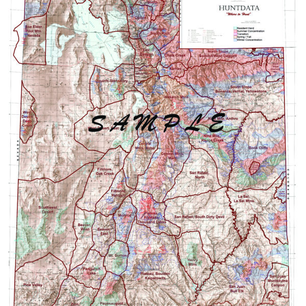
Utah Statewide Elk Concentration Map
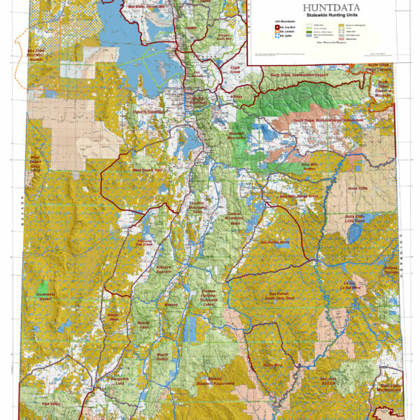
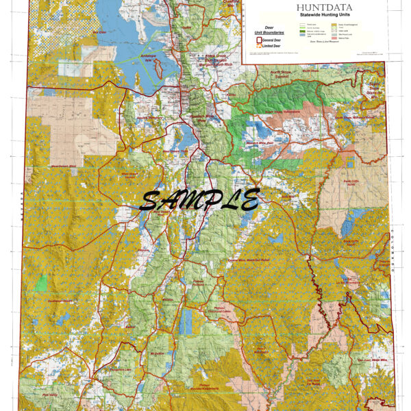
Utah Statewide Elk General Unit Map with Land Ownership
Utah Statewide General Mule Deer Units and Land Ownership
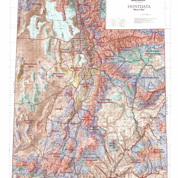
Utah Statewide Mule Deer Concentration Map
Washington Land Ownership Maps.
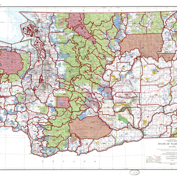
Washington State Unit Map
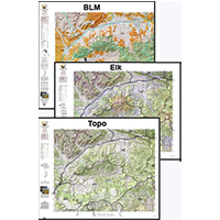
Wy 3 Map Combo Special! Land Ownership, Habitat, and Topo, Save $30.
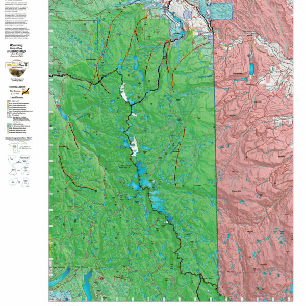
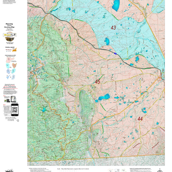
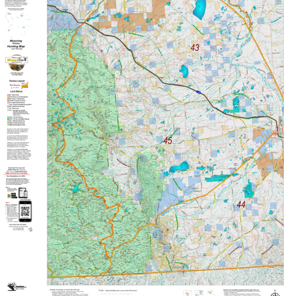
Wy Bighorn Sheep Hybrid Map, Land Ownership and Habitat
Our Hybrid Maps are built with land ownership data then we project Summer, Fall, and Winter Concentration data to create a map showing you not only where you CAN hunt, but where you SHOULD hunt as well! Click on the small map at left to see a larger sample then Scroll to the bottom of the map to order then move to the bottom right to Add To Cart.We also add the USGS roads and trails from their 7.5minute Quad Maps. We use 5 different software programs to handle the complexity and publication of these maps. The Hybrid maps are printed on our rugged map fabric to create a map that will last as long as your memories!
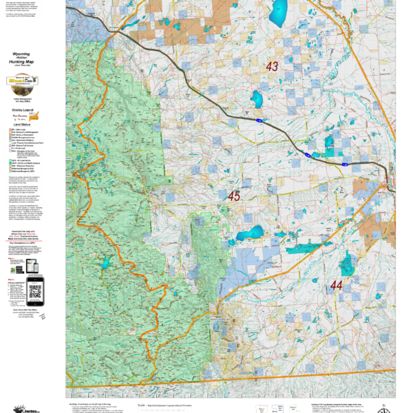
Wyoming Antelope Habitat
Wyoming Antelope Land Ownership and Habitat Hybrid