



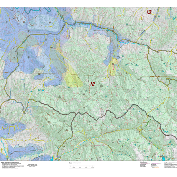
CO Mule Deer Concentration Maps.
We project Summer, Winter, and Fall Concentration data over a Topo base to create an informative and colorful concentration map. Click on the small map at left to see a larger sample. Scroll to the bottom of the map to order then move to the bottom right to Add To Cart. The maps are designed to help you determine where you SHOULD be hunting in your unit during your season. These maps are built on the USGS 1:100,000 base Topo series with enhanced Lakes, Roads and Trails from the USGS 7.5 minute Quad Maps. This map should be part of your hunting tool kit! Click Here to see the Statewide GMU Reference Map.
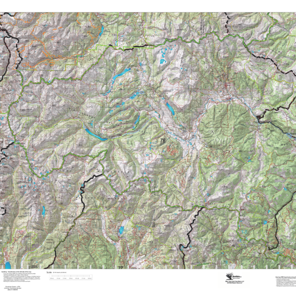
CO Mule Deer GMU Topo Maps.
We redesigned our Topo series this year adding updated roads from the USGS 7.5 minute map series to the 1:100, 000 Topo base. Click on the small map at left to see a larger sample. Scroll to the bottom of the map to order then move to the bottom right to Add To Cart. We also enhanced the Forest Service boundries. The result is a traditional topo map with current info! A great tool for your hunt. Click Here to see the Statewide GMU Reference Map.
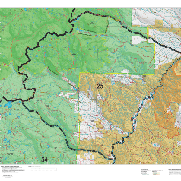
CO Mule Deer Land Ownership Maps.
The Land Ownership Maps are built using land ownership data from USGS, National Forest and the State. We add current location data, streams, lakes, roads and trails from the USGS 7.5 minute Quad Map data set then print it on our rugged map fabric to create the best map in the industry. Click on the small map at left to see a larger sample. Scroll to the bottom of the map to order then move to the bottom right to Add To Cart. Click Here to see the Statewide GMU Reference Map
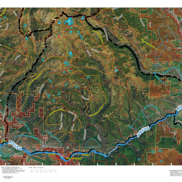
CO Satellite with Land Ownership AND Elk Concentrations.
NEW! This map takes 6 different software programs to develop. We use an enhanced set of Satellite Images, project Land Ownership, shading private in red, then add elk summer, winter, resident herd and migration data. This map is good enough to hang on the wall! We print it all on our rugged map fabric for an heirloom quality map. You will study this map for hours!
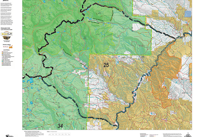
CO Satellite with Land Ownership AND Elk Concentrations.
NEW! This map takes 6 different software programs to develop. We use an enhanced set of Satellite Images, project Land
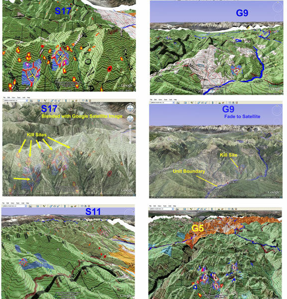
Colorado 3D Moose Map.
View a map of your Moose unit in 3D on Google Earth! Click Here to see the Statewide GMU Reference Map.
Colorado Antelope Unit Map with Land Ownership
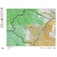
We built the maps from the ground up using current information. Compare this to other maps produced from old (up to 8 years) scanned BLM maps. Our Land Ownerships use this year’s land ownership data from the BLM and State sources. Over the land ownership data, we add contour lines and property boundaries from Colorado Parks of Wildlife, National Parks, National Forest, State, US Fish and Wildlife, other Federal lands.
We then add unit boundaries and project the maps at 1:80,000, 1:100,000 or 1:120,000 scale depending on the unit size. The road and trails layers are extracts from the USGS Quad 7.5 minute series. What this means is no matter what the scale of your unit map you have the most details roads and trails available.
Each map contains a quick scan QR code to load the map into your Smartphone using Avenza Maps free GIS App (download from your App Store).
The most current data available on the best hunting map made.
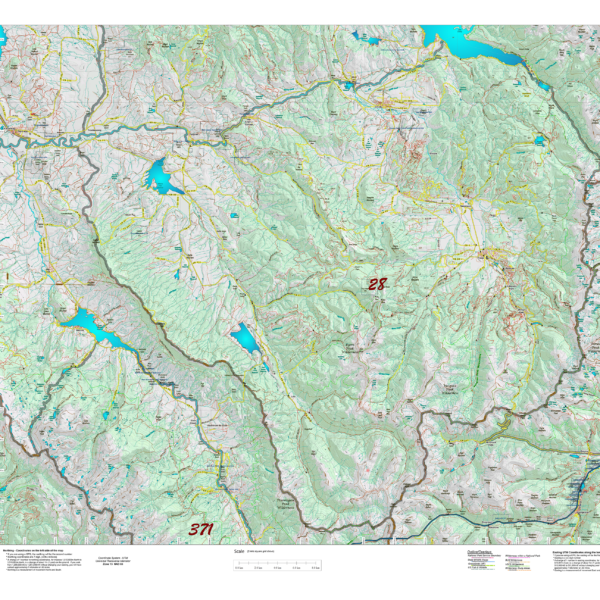
Colorado Antelope Unit Topo Map
Topographical maps are built from the bottom up to provide a traditional Topo look at feel. The maps are projected at 1:80, 100, 120, and 1:160,000 scales based on the unit size. While the projections vary by unit, every unit has the trail and roads systems from the popular USGS 7.5 minute Quad maps. These are great navigation tools!
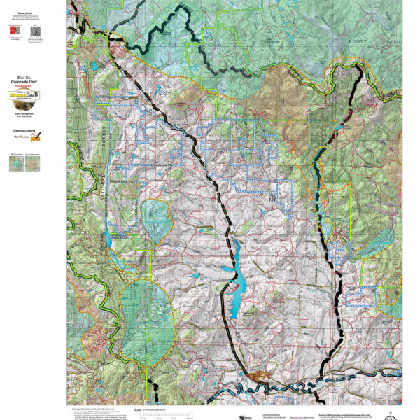
Colorado Bear Concentration Map.
Newly designed base Topo Map with enhanced Summer and Fall Bear Concentration Overlays. Also with roads and trails from the USGS 7.5 minute quads.
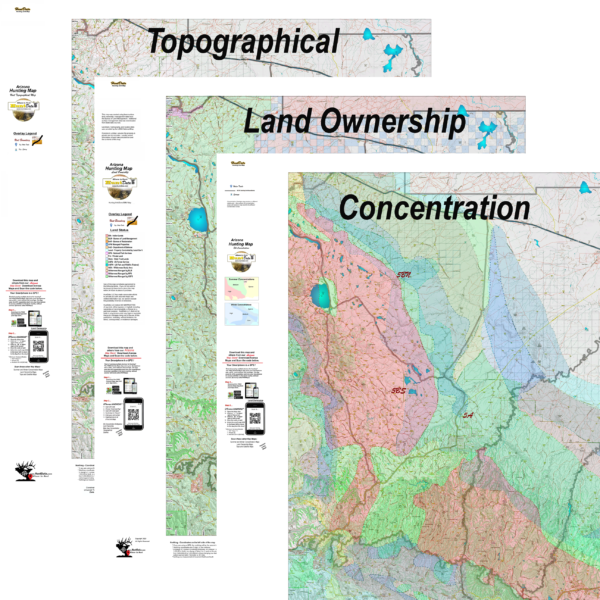
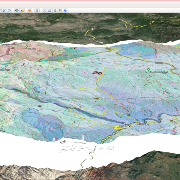
Colorado Combo! 3 Elk Maps plus Digital 3D Maps.
Land Ownership, Elk Concentration, and Topo Map. PLUS, 3D Digital Maps for Google Earth, to study during your Office Scouting! The Land Ownership and Elk Concentration Maps are printed on our rugged fabric material, the 3 Map "Hunting Pack" - Land Ownership and Elk Concentration Maps - are the ideal field guide for your hunting group! Click Here to see the Statewide GMU Reference Map. Check out samples of these maps under the Elk Concentration, Land Ownership and Topo Categories.
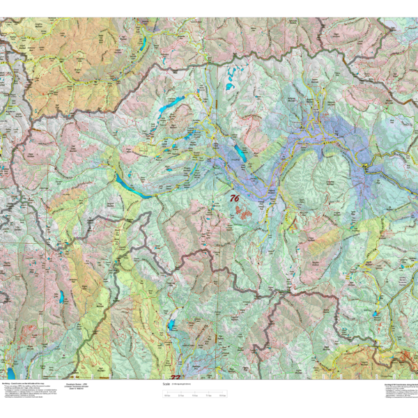
Colorado Elk Concentration Maps.
Elk Concentration Maps were invented by HuntData. These maps have been our best sellers over the past 25 years. This year, we updated the styles, enhancing boundaries, clarifying summer, winter, and resident herds, migration routes and adding 7.5-minute roads from the USGS Quad collection. The maps are printed on our rugged map fabric designed to last as long as your hunting memory.
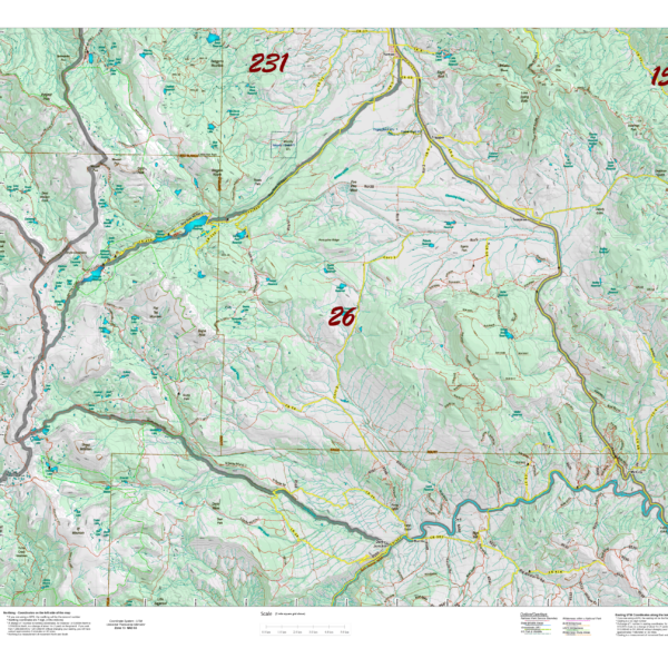
Colorado Hat Trick, 3 Maps, Land Ownership, Elk Concentration, and Topo
3 Maps at a discount. Get the maps you need to plan where you can hunt and where you should hunt. The land ownership maps identify public lands, the elk maps identify seasonal concentrations and migrations, the topo maps provide a clear layout of the entire unit.